

Blog
Field Notes
Practical guides on drone mapping, photogrammetry, RTK GPS, GIS analytics, and agri-tech from the field.
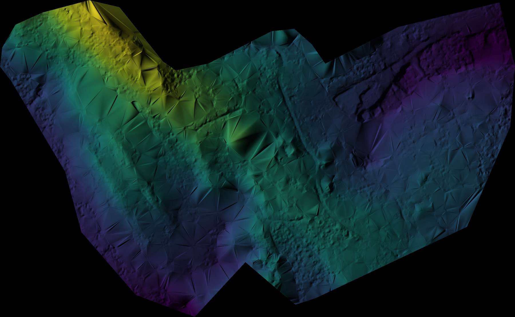
Generate a Coloured Hillshade from DTM or DSM in QGIS
The generate_hillshade QGIS script blends a viridis colour ramp with multidirectional hillshade to turn any DTM or DSM into a publication-ready terrain map.
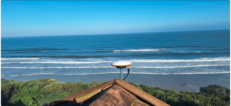
Hosting an RTK Base Station: What It Takes, and Why It's Worth It
What a precision GPS base station needs to run well, how a shared RTK correction network functions, and why one host benefits an entire region — not just their own use.
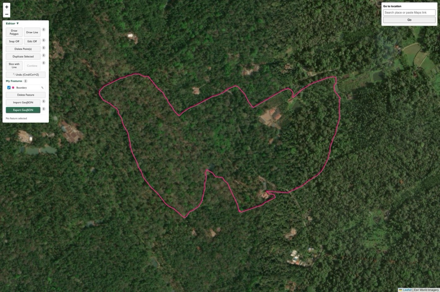
Plan a Drone Mapping Mission From Your Browser: Boundary Editor & Automated Flight Paths
A walkthrough of In Field, Future Thota's free browser tool for drawing a survey boundary and generating an automated video flight path — no GIS background needed.
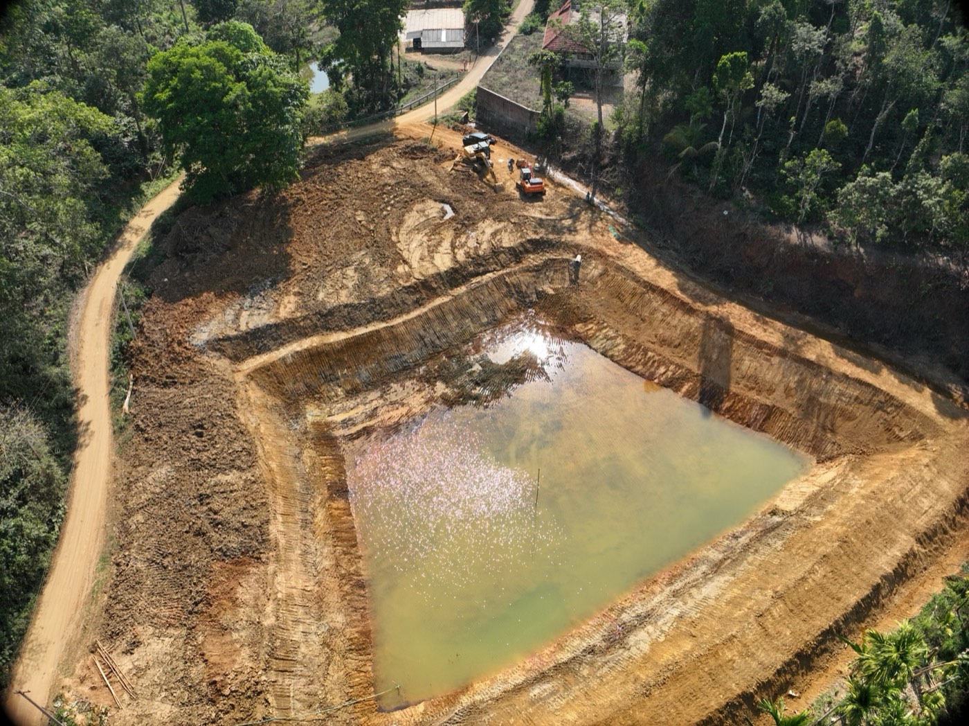
How We Survey a Farm Pond or Irrigation Lake From the Air
Fill-depth mapping, spillover risk, and precise storage volume — how a drone terrain survey turns an irrigation pond into a set of actionable numbers.
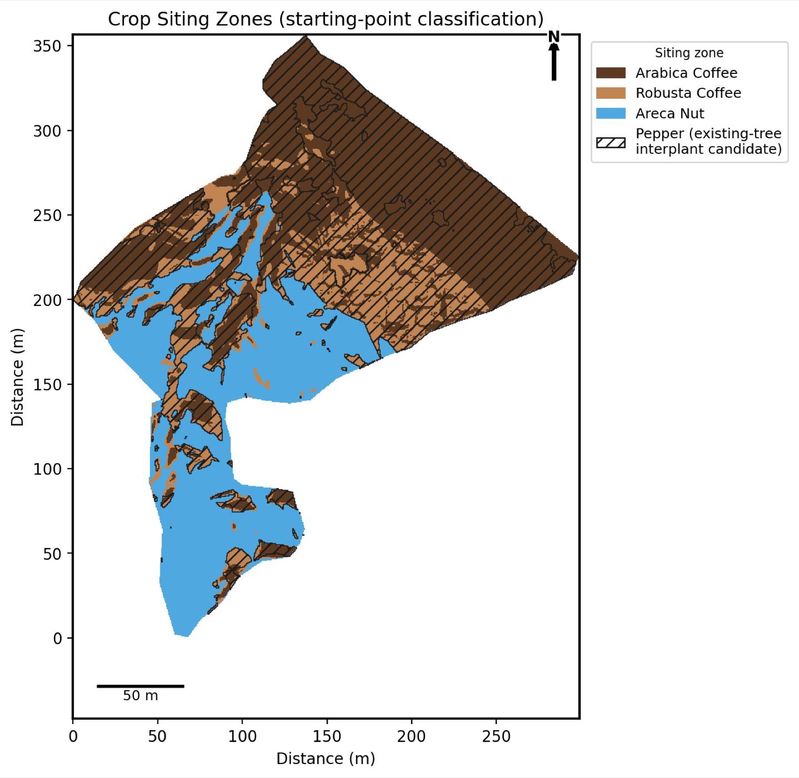
Precision Agronomy: Siting Crops and Counting Trees From the Air
How drone imagery and GIS layers combine into a crop-siting map and individual tree or plant detection — two of Future Thota's newer analytical outputs.
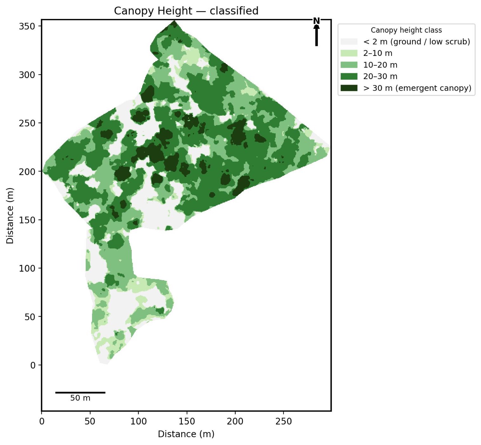
Reading the Land: Five GIS Layers Every Plantation Survey Should Include
Canopy height, slope, soil wetness, erosion pattern, and sun exposure — five analytical layers derived from one drone survey, explained with real output maps.
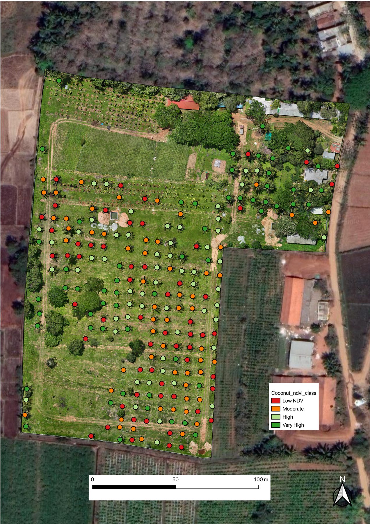
Map Individual Tree Height & Canopy NDVI in QGIS: A Complete Workflow
How six QGIS automation scripts chain together to turn raw drone imagery into a per-tree height and NDVI health map — digitizing, buffering, height extraction, canopy masking, NDVI sampling, and classification, illustrated on a real coconut plantation survey.
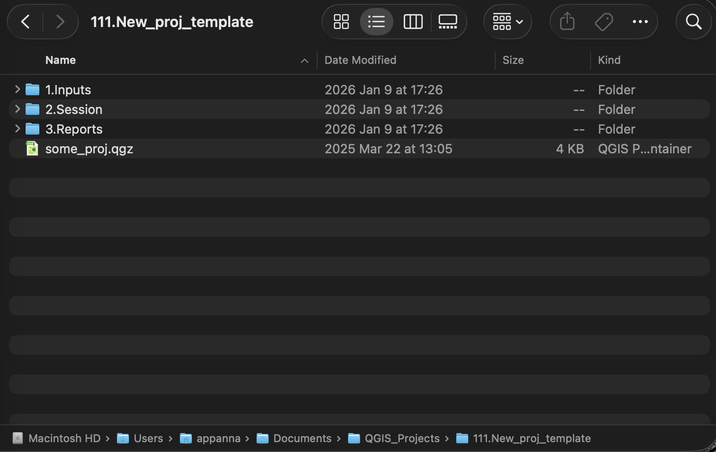
The Recommended Folder Structure for QGIS Drone Mapping Projects
A consistent project folder layout — 1.Inputs/, 2.Session/Geojsons/, and more — that every automation script in this toolkit relies on to auto-detect files and save outputs in the right place, with no manual path configuration.
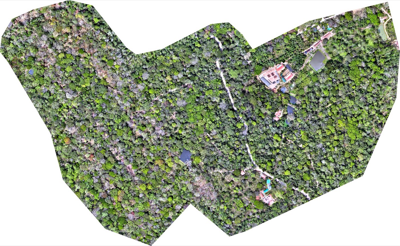
What You Get From a Real Drone Survey: Orthomosaics, DTMs & DSMs Explained
A real orthomosaic, DTM, and DSM from an actual Future Thota survey — explained side by side, with what each one is actually used for.
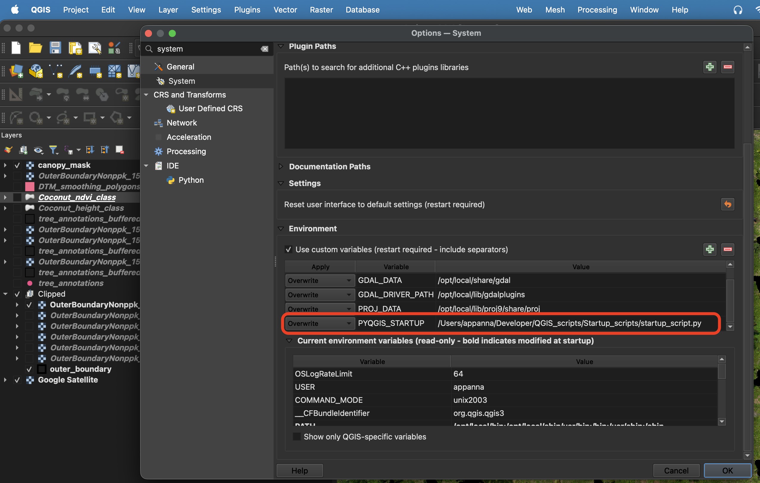
How to Set Up Auto-Running Scripts in QGIS
A short setup guide for configuring QGIS to automatically run Python scripts on launch — styling layers, generating indices, and more. No coding required.
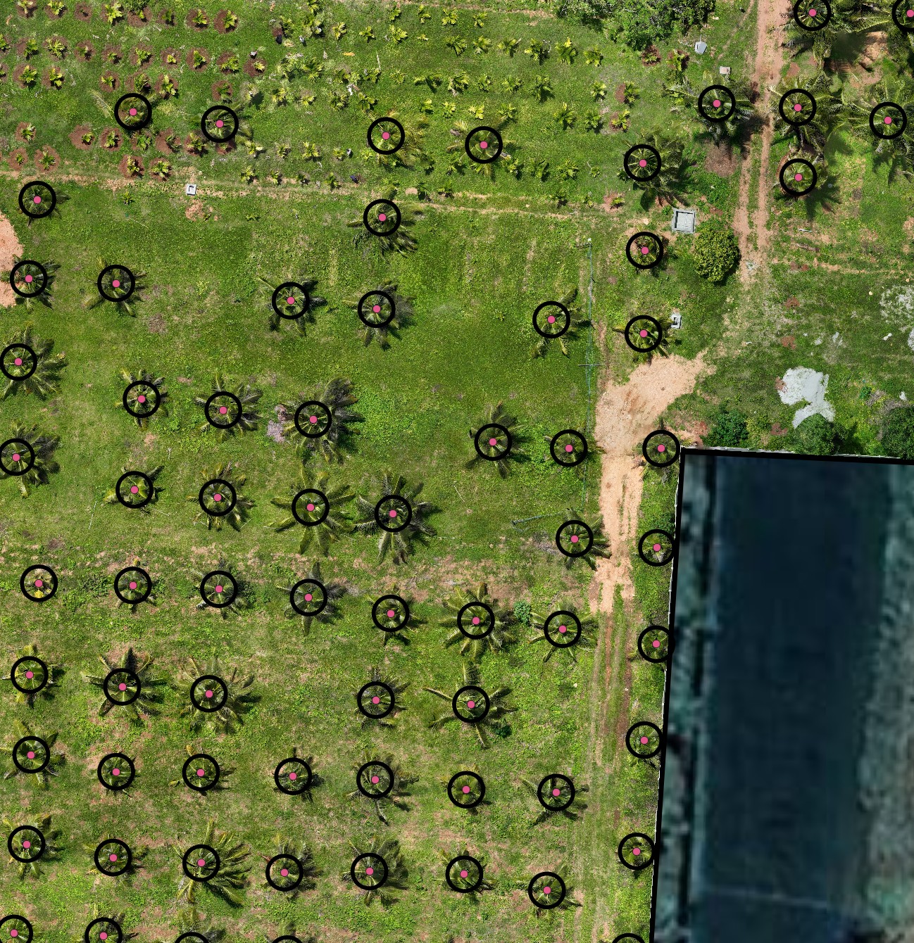
How to Buffer Any Layer in QGIS Using a Python Script
Use the buffer_active_layer QGIS script to expand point or polygon features outward by a configurable radius in metres — no plugin required.
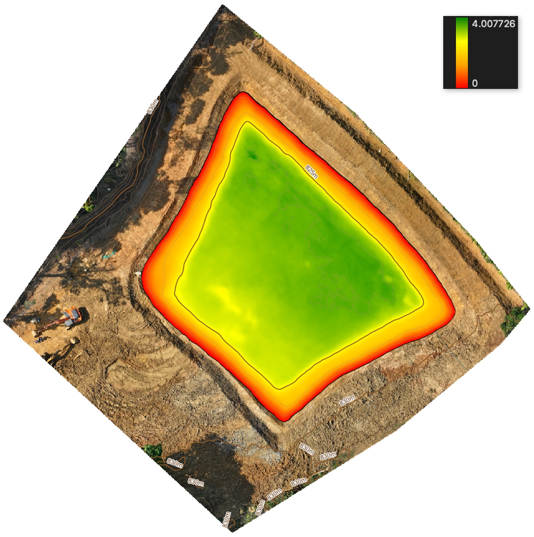
Calculate Lake or Crater Water Volume from a Drone DTM in QGIS
Use the calculate_lake_volume QGIS script to compute cubic metres, litres, and acre-feet of water storage from a boundary polygon and DTM raster.
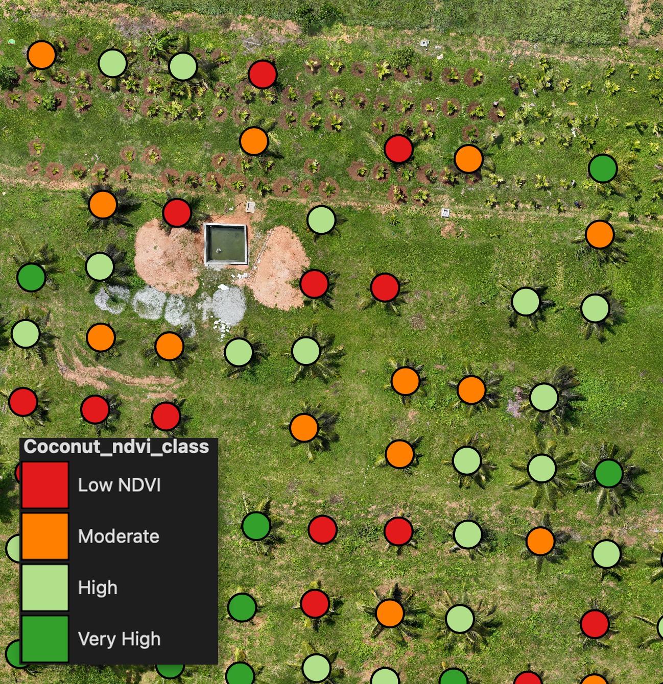
Compute Canopy-Only NDVI per Plot in QGIS (Ignoring Bare Soil)
The canopy_ndvi_median_calc QGIS script computes median NDVI per polygon only from canopy pixels, skipping bare soil patches that inflate or deflate the reading.
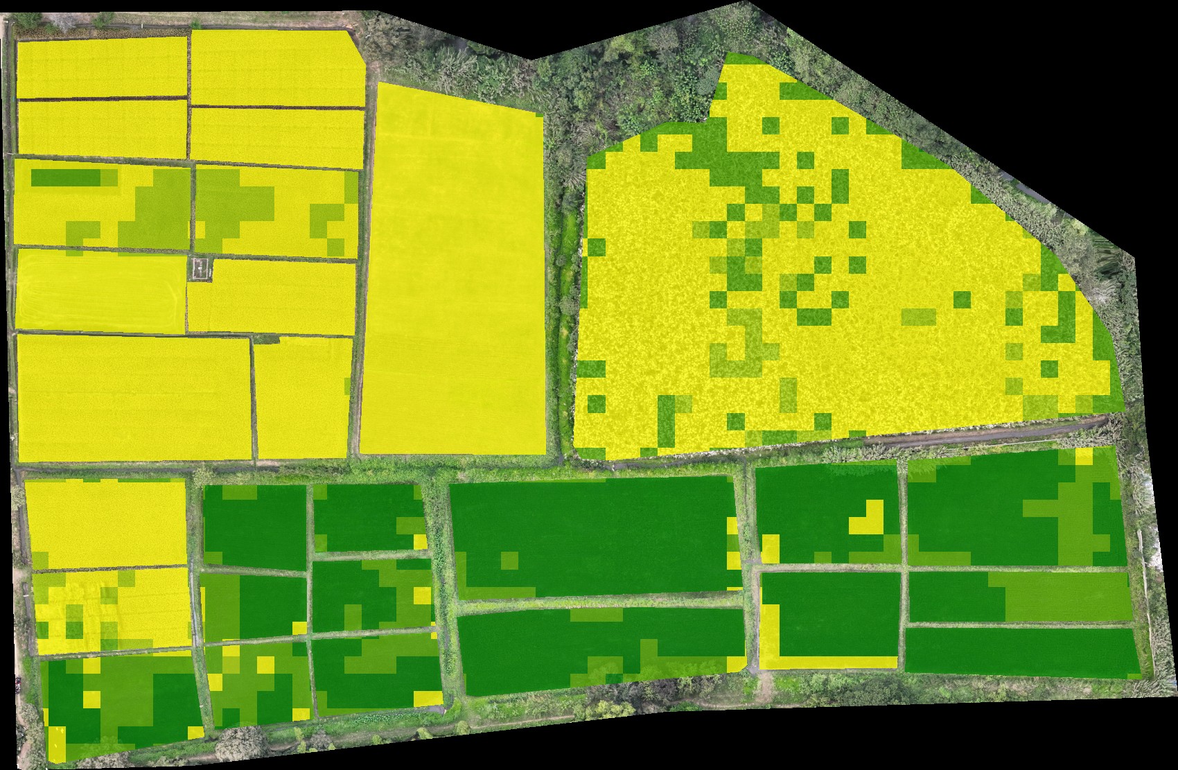
Apply Graduated Colour Classification to Any Layer in QGIS
The classify_layer QGIS script applies a yellow-to-green graduated colour style to any numeric field on a vector layer — discrete steps or percentile quartiles.
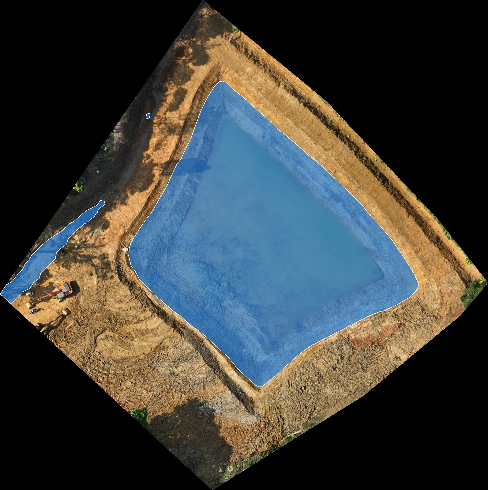
Map Flood Extents and Water Levels from a Drone DTM in QGIS
The generate_contour_level_polygon QGIS script finds all DTM pixels at or below a target elevation and converts them into GeoJSON polygons — ideal for reservoir extent and flood mapping.
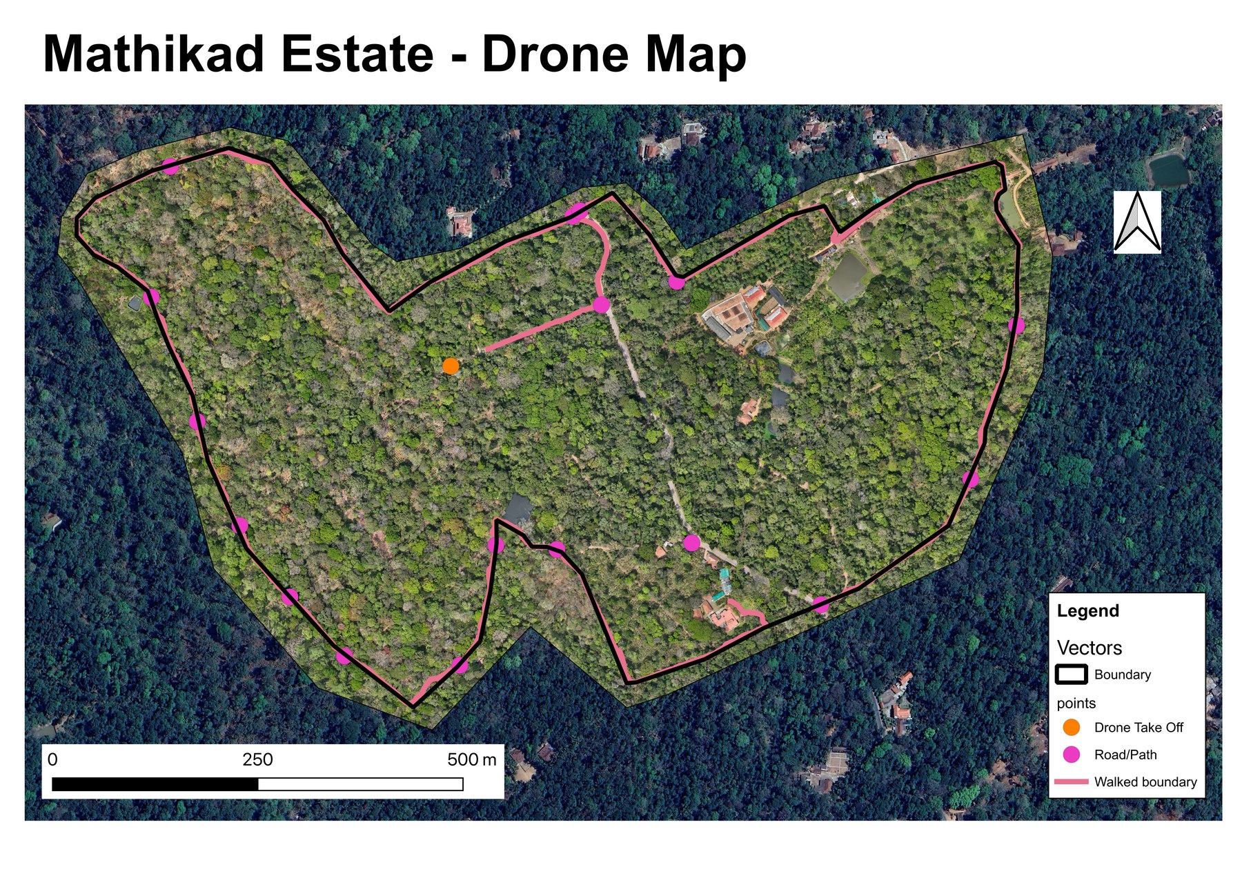
Auto-Generate a Print-Ready A4 Map Layout in QGIS
The create_map_layout QGIS script builds an A4 print layout from the current canvas view, complete with scale bar, north arrow, date title, and a legend — ready to export as PDF.
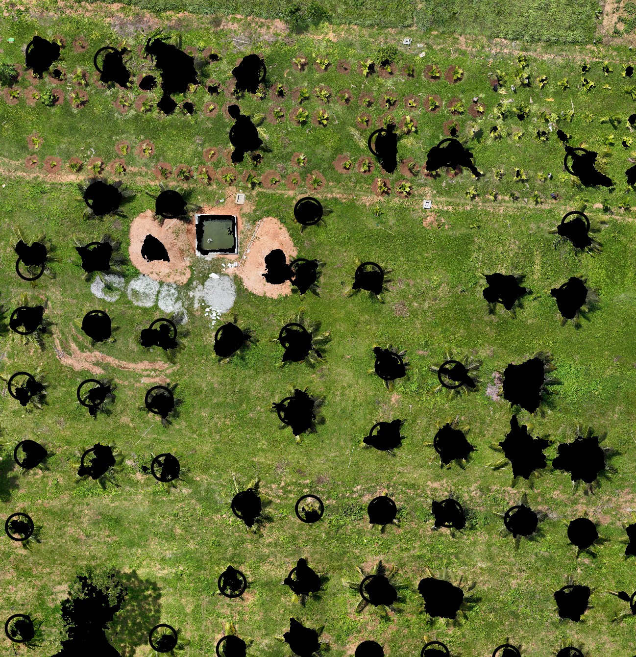
Generate a Canopy Mask from DSM and DTM in QGIS
The generate_canopy_mask QGIS script creates a binary raster separating canopy from ground using the difference between DSM and DTM — a prerequisite for canopy-aware NDVI analysis.
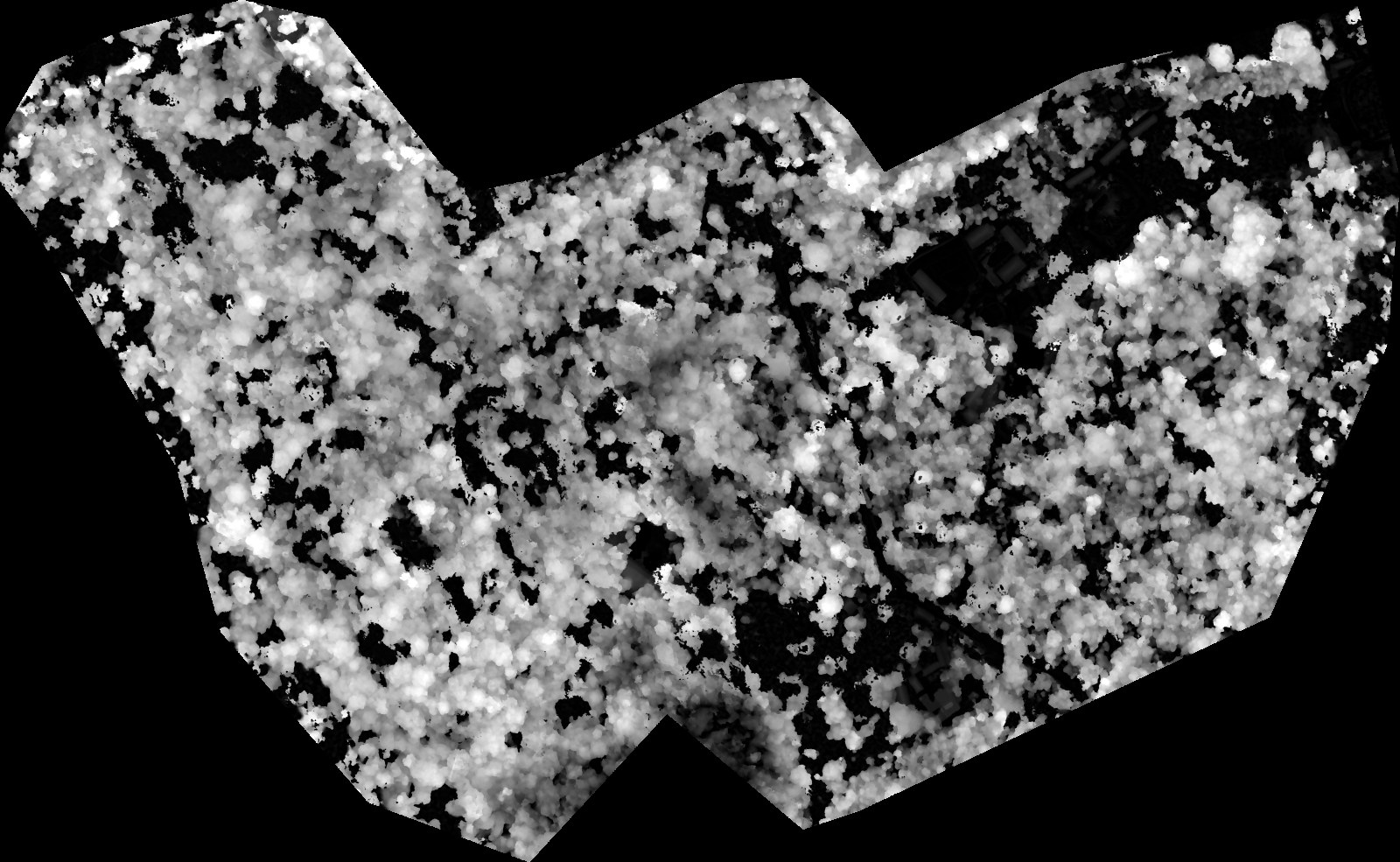
Generate a Canopy Height Model (CHM) from DSM and DTM in QGIS
The generate_chm QGIS script subtracts DTM from DSM to produce a height-above-ground raster, handling resolution mismatches automatically.
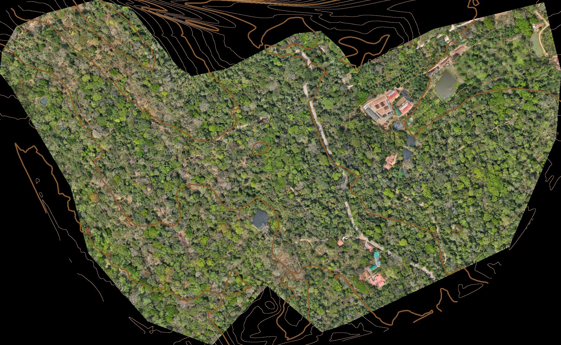
Generate Smooth Contour Lines from a Drone DTM in QGIS
The generate_contours QGIS script smooths drone DTM mesh artefacts with Gaussian filtering and generates cartographic-quality contour lines using Chaikin's algorithm.
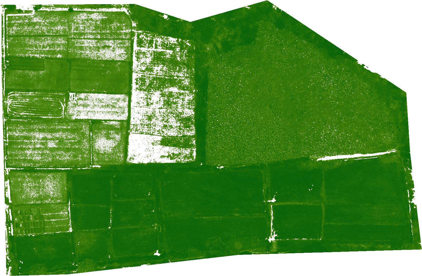
Filter a Raster by Threshold in QGIS (NDVI Masking and More)
The raster_mask_generator QGIS script creates a filtered raster where only pixels above or below a threshold are kept — everything else becomes transparent NoData.
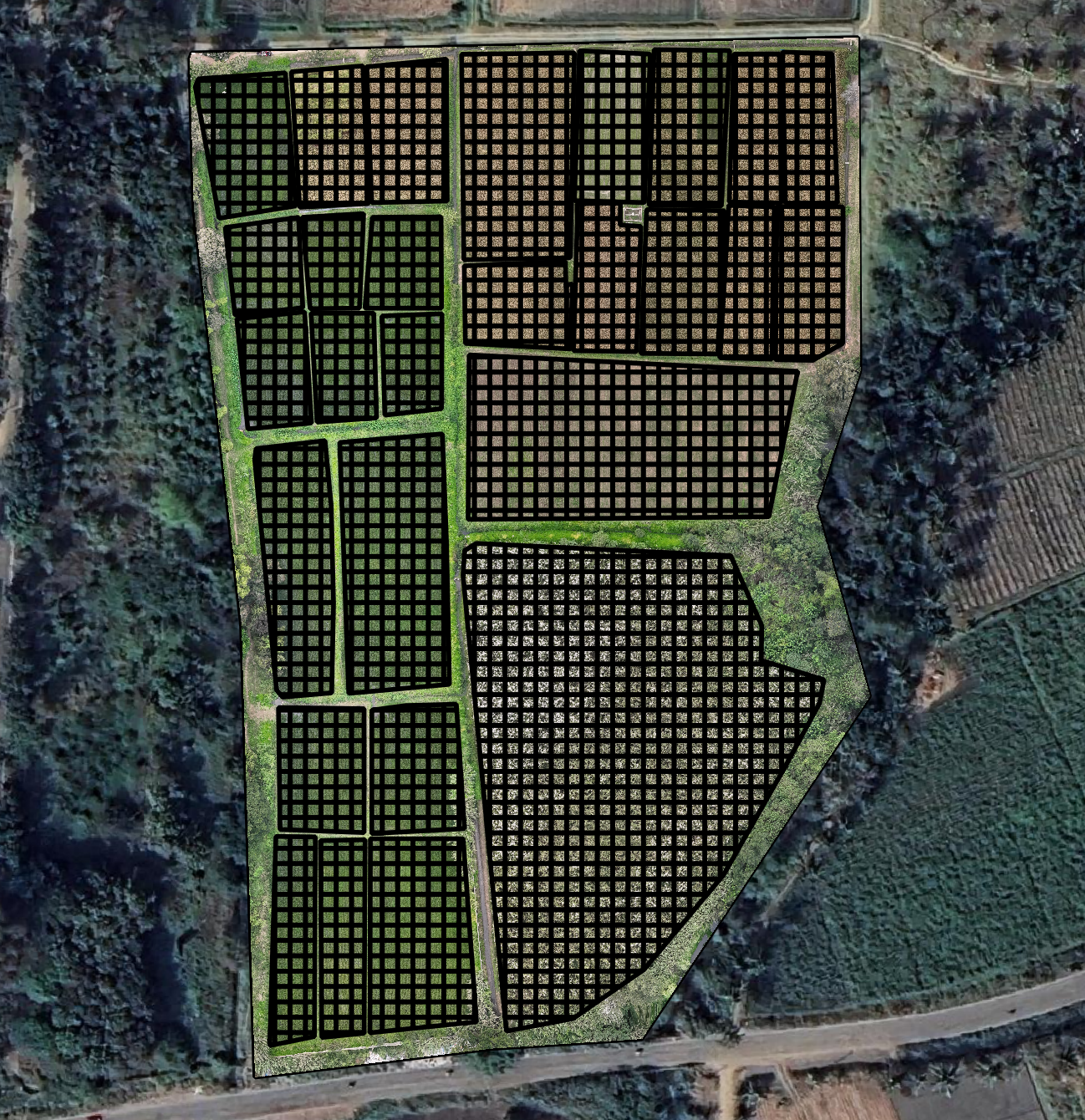
Generate a Sampling Grid for Drone & Aerial Surveys in QGIS
The grid_generation QGIS script creates a rectangular sampling grid of equal-sized cells over your fields, clipped to polygon boundaries, with automatic UTM reprojection for accurate cell sizes in metres — built for drone and aerial survey workflows.
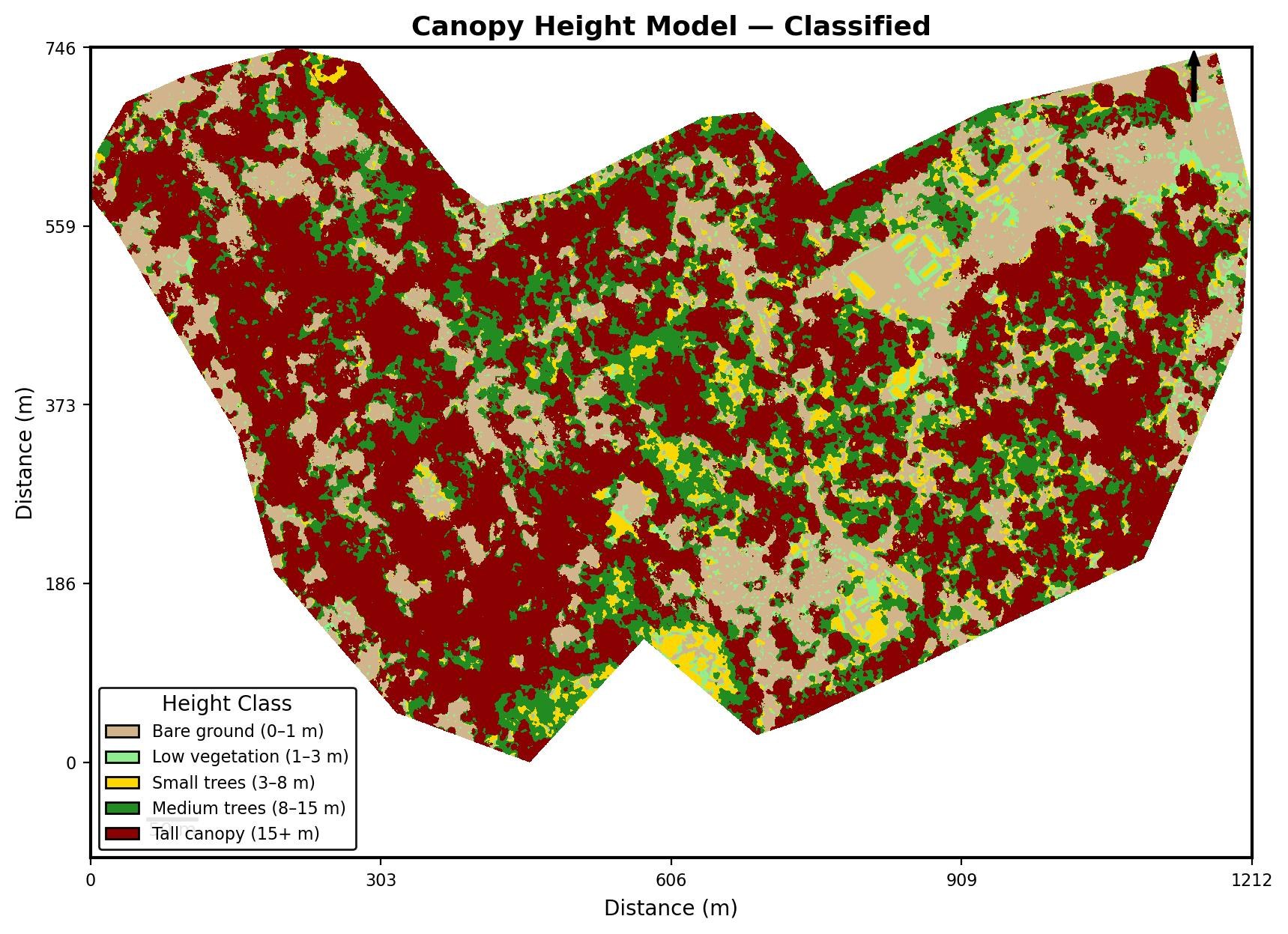
Apply Classified Height Bands to a CHM and Export a Map in QGIS
The style_chm QGIS script applies 5 colour-coded height bands to a Canopy Height Model and exports a static JPEG map with legend, north arrow, and scale bar — ready for client reports.
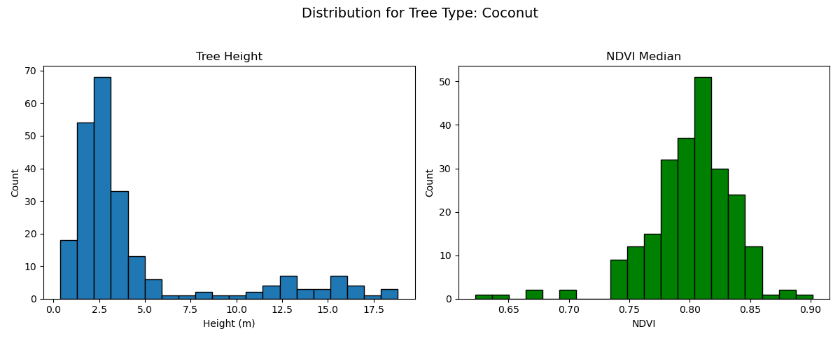
Plot Tree Height and NDVI Distribution Histograms by Species in QGIS
The plot_tree_attributes_histograms QGIS script generates side-by-side height and NDVI histograms grouped by tree type, saved as PNGs — useful for species comparison in plantation surveys.
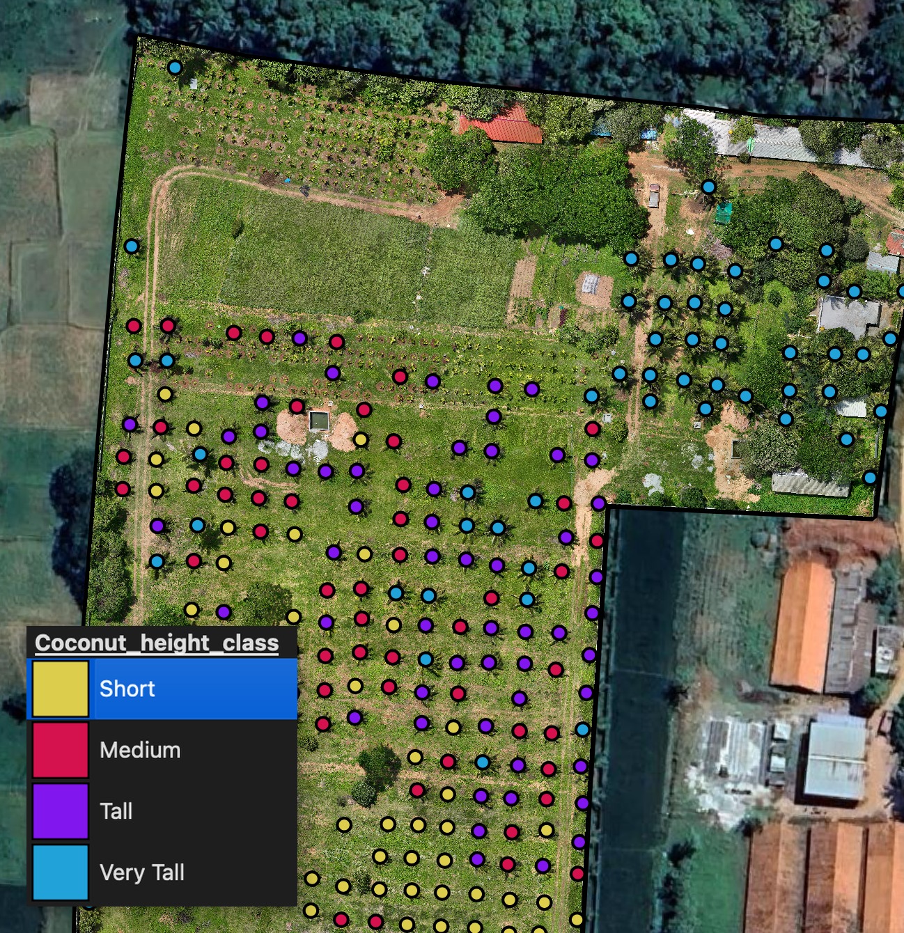
Extract Tree Heights from DSM and DTM in QGIS
The tree_heights_from_dsm_dtm QGIS script adds a height field to point or polygon features by sampling DSM − DTM at each location — no point cloud processing needed.
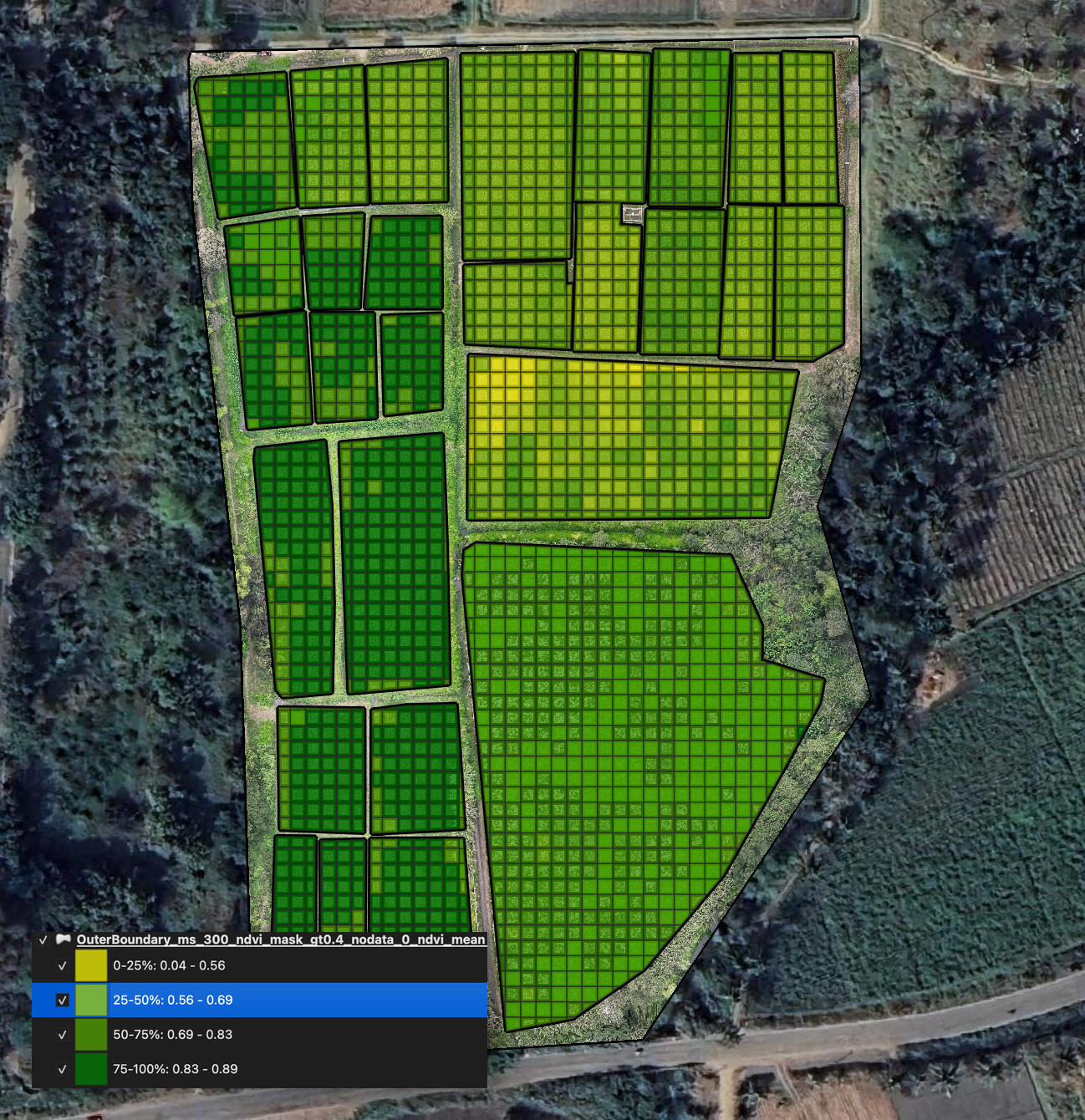
Compute Raster Statistics per Polygon in QGIS (Zonal Statistics)
The zonal_statistics QGIS script aggregates raster pixel values per polygon zone and writes the result as a new attribute — get mean NDVI, max height, or any summary per plot in one run.
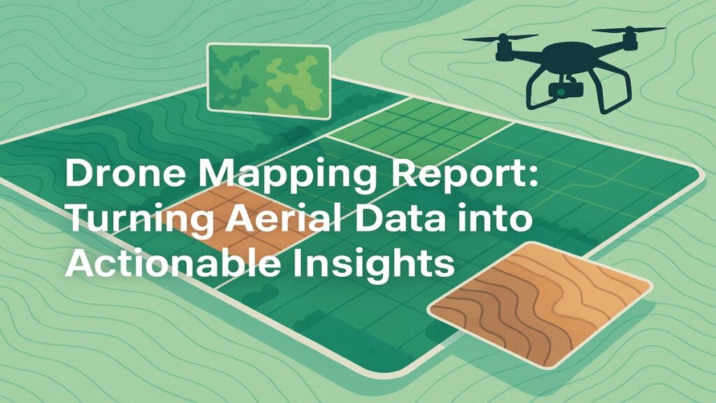
Drone Mapping Report: Turning Aerial Data into Actionable Insights
A walkthrough of the drone mapping report Future Thota delivers — orthomosaics, DTMs, NDVI layers, slope-corrected area calculations, and how to read each output.
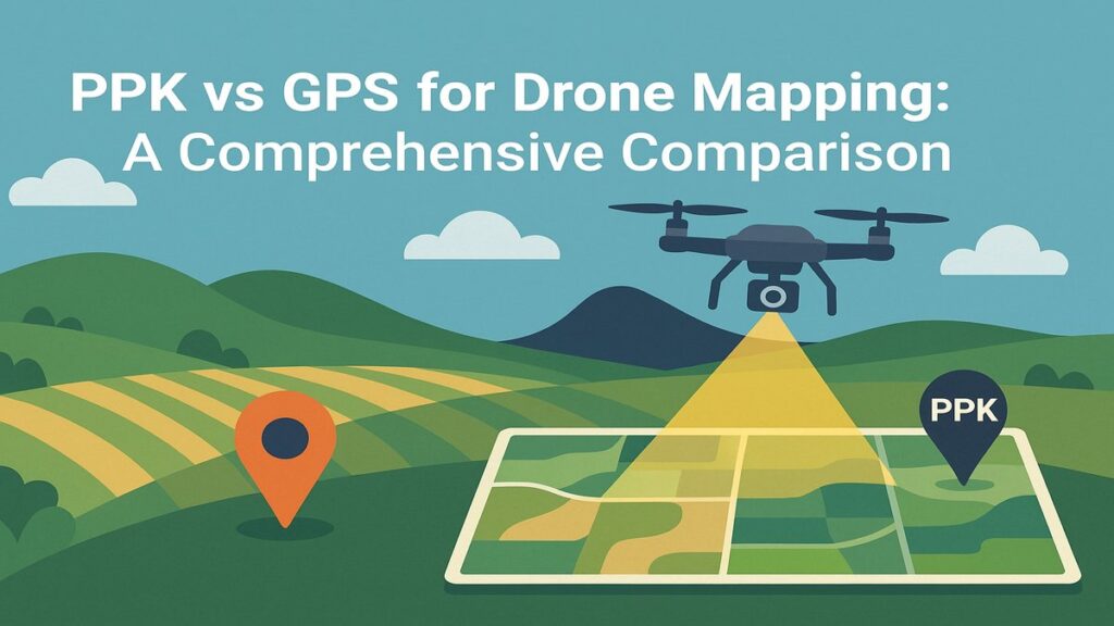
How PPK Enhances GPS Accuracy in Drone Mapping
A real-world accuracy comparison of GPS-only, PPK Float, and PPK Fix positioning for a 20-acre plantation drone mapping project — with error metrics explained.
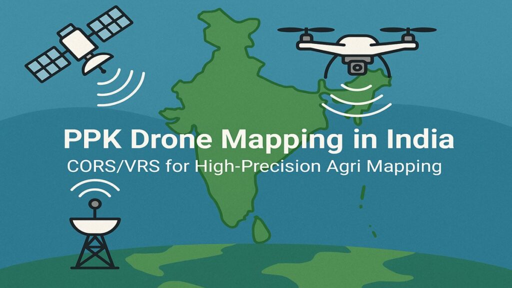
PPK Drone Mapping in India: Using CORS/VRS Data for High-Precision Results
How to use Post-Processed Kinematic (PPK) corrections with Survey of India CORS/VRS data for high-precision drone mapping without real-time RTK infrastructure.
Flight Log Software for the Mavic 3 Enterprise Series
A comparison of DJI flight log software options for the Mavic 3 Enterprise — and why we recommend Flight Reader for serious, consistent operational management.
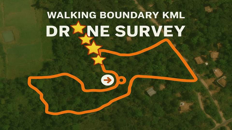
Creating a Boundary KML File for Drone Surveys with Garmin Devices
Step-by-step guide to creating an accurate boundary KML file for drone surveys using a Garmin GPS device, Garmin Explore app, and Map Plus for conversion.
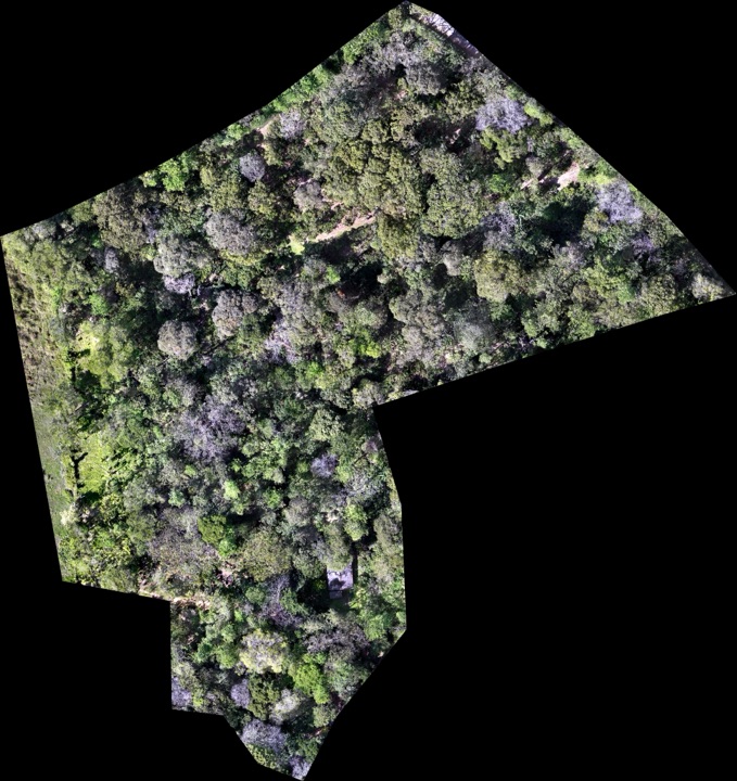
Drone Survey in Coffee Plantations: An Altitude Case Study
A case study comparing drone survey results at 150 ft, 200 ft, and 400 ft flight altitudes over a coffee plantation in Coorg, Karnataka, with best-practice recommendations.
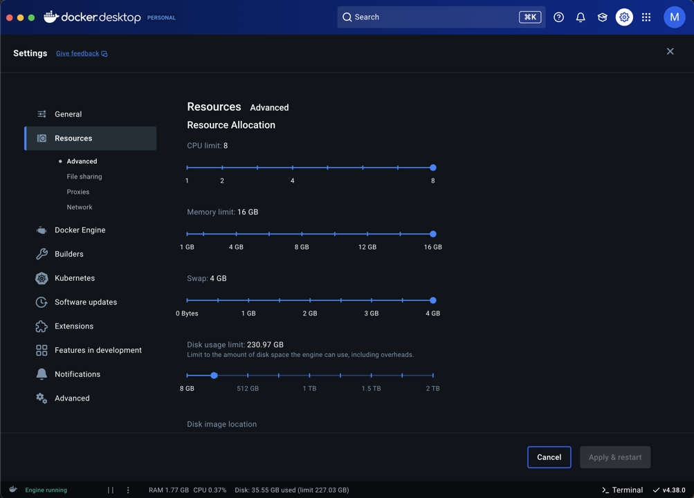
WebODM Troubleshooting Guide
Practical WebODM troubleshooting for Mac and Windows users — fix Docker crashes, memory issues, processing failures, and stalled tasks step by step.
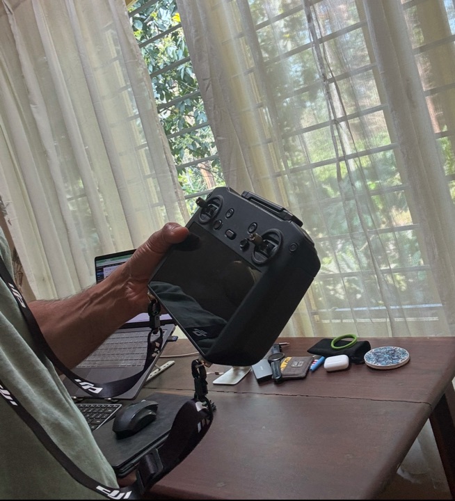
Must-Have Accessories for the DJI Mavic 3M
The essential accessories for professional Mavic 3M drone mapping operations: landing pads, high-capacity SD cards, AirTag tracking, and RC lanyards.
Essential Drone Mapping Checklist for Surveys
A complete pre-flight and on-site checklist for professional drone mapping operations in India, covering certification, airspace, mission planning, and safety.
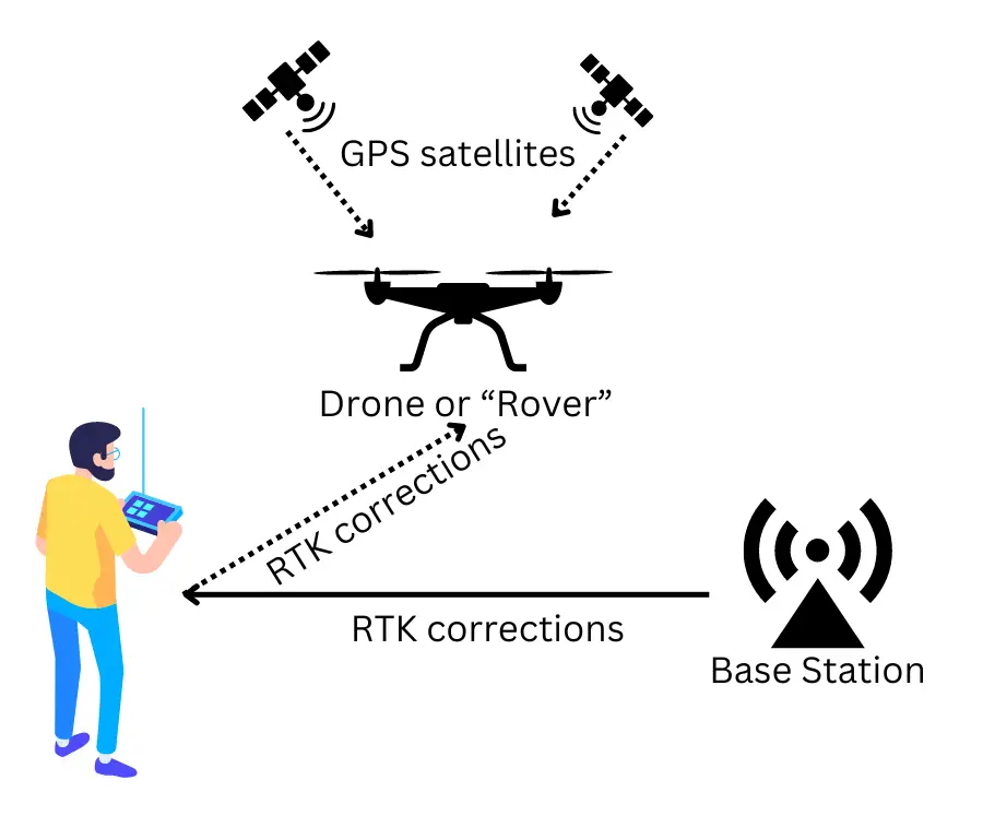
RTK Drone Survey India: NTRIP Subscription Guide
How to set up an NTRIP subscription for RTK drone surveys in India using the Survey of India CORS network for centimetre-level GPS accuracy.