

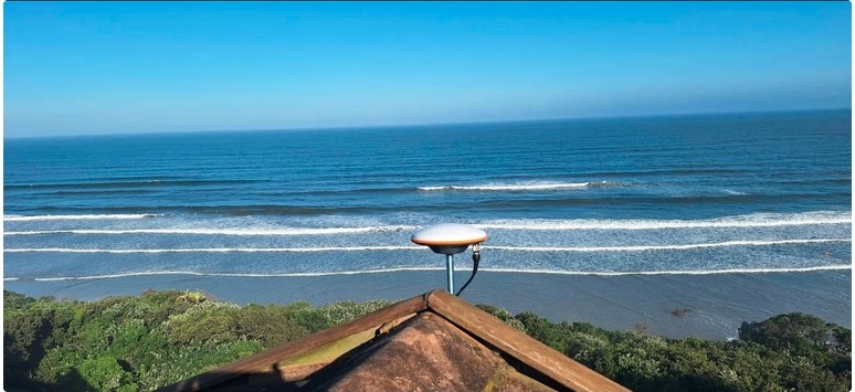
Most of what’s written about RTK GPS — including our own posts on NTRIP subscriptions and PPK versus GPS accuracy — covers it from the rover’s side: the drone or device receiving corrections. This is the other half of the picture — what it takes to host the base station that broadcasts them, and why doing so is worth more than just your own accuracy.
What a Base Station Needs
A base station is not particularly demanding equipment, but it does need three things to run reliably:
- A clear view of the sky — a roof mount or similarly unobstructed position, away from tall structures that would block satellite signal
- Continuous power — even short outages interrupt the correction stream for every device relying on it
- An internet connection — corrections are broadcast in real time to every subscriber within range
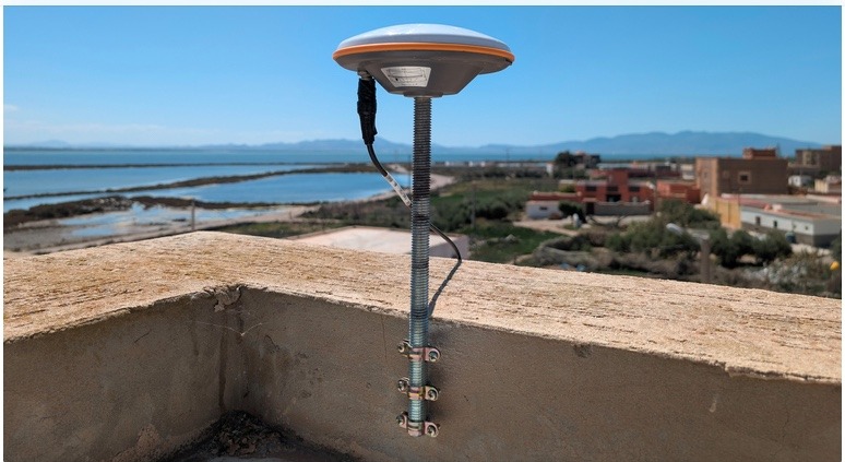 A roof-mounted GNSS antenna — the receiving end of a base station install. (Photo: docs.geodnet.com)
The antenna is only half the kit — it pairs with a correction radio that takes the raw GNSS signal and broadcasts it over the internet as an RTK correction stream.
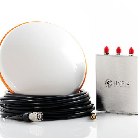 A typical base station kit — antenna, correction radio, and coax. (Photo: hyfix.in)
We support installation of RTK base stations directly — siting, mounting, and getting the correction stream live and stable.
What It Buys You
A single, well-sited RTK base station typically covers a 20–40 km radius, delivering under 5 cm positional accuracy to any properly equipped receiver within that range. Compare that to standard phone or handheld GPS, which typically holds to 3–5 metres — the difference between “roughly right” and survey-grade precision.
That accuracy applies to more than drone flights. A precision handheld GNSS/RTK receiver — the kind we train clients to use — brings the same centimetre-level accuracy to boundary walking and resource marking on foot, independent of whether a drone survey happens at all.
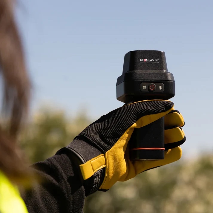 A handheld RTK receiver in use for boundary walking. (Photo: hyfix.in)
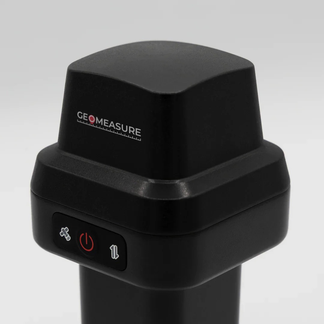 The same class of handheld receiver — this is precision GPS hardware we can help you source and set up. (Photo: hyfix.in)
Why One Host Serves More Than Themselves
Here’s the part that’s easy to miss: a base station’s corrections aren’t limited to the equipment its owner runs. Every subscriber within the coverage radius — another estate, a different drone operator, anyone with a compatible receiver — benefits from the same broadcast. One well-placed station makes sub-5 cm positioning available across a region, not just for the person who installed it.
This is exactly the model behind the shared, live precision GPS correction network Future Thota is already part of. Every high-precision survey we run today draws on this same corrected GPS network — infrastructure that gets more valuable to everyone as more stations join, not less.
Beyond Drone Mapping
We expect this to matter well beyond aerial surveys. Autonomous field robotics and precision vehicle GPS both need reliable centimetre-accurate positioning in hilly, canopy-laden terrain — exactly the conditions a shared RTK network is built for.
If you’re considering hosting a base station, or want precision handheld GNSS training for your own field team, get in touch — or read more about field planning and precision GPS.