

Irrigation ponds and farm lakes get surveyed the same way the rest of an estate does — a drone flight, a terrain model, and analysis. The questions are just different: not “how much land do I have,” but “how much water can this hold, and is it enough to get through the dry season.”
Capturing the Site
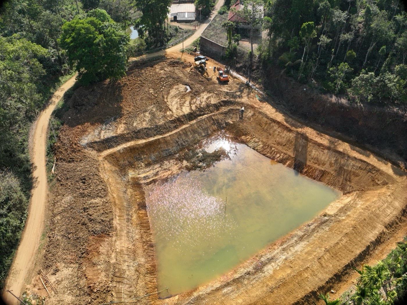
Whether a pond is already holding water or still under excavation, the drone flight captures the full basin geometry — banks, depth variation, and the surrounding catchment. For a pond still being dug, this is also a useful progress and volume-check record before it’s ever filled.
Terrain Contours
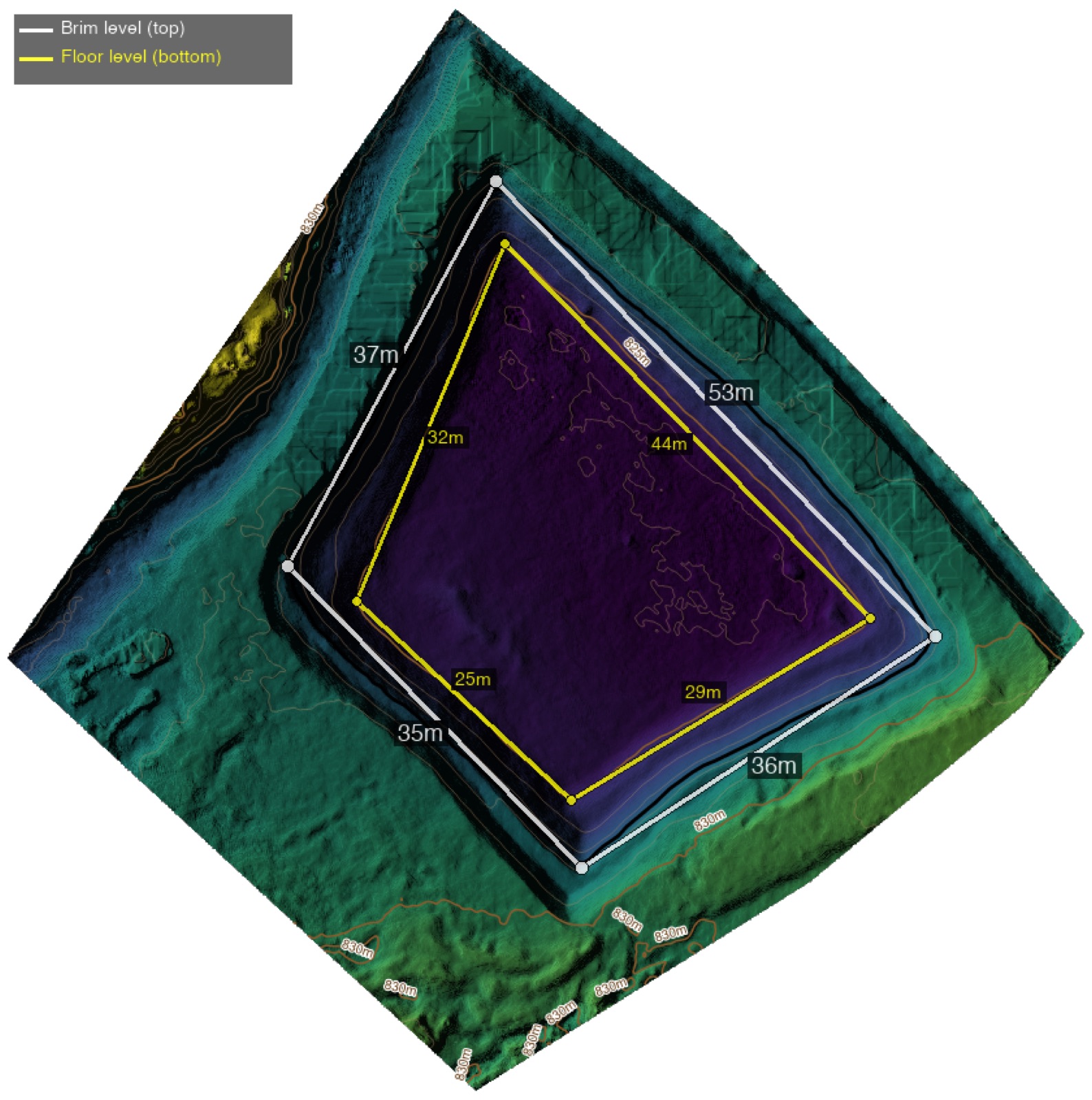
As with any DTM, the bare-earth model gives precise contour lines across the basin and its banks. This is what makes every other calculation possible — depth, volume, and spillover risk are all read directly off this surface.
Fill-Depth Mapping
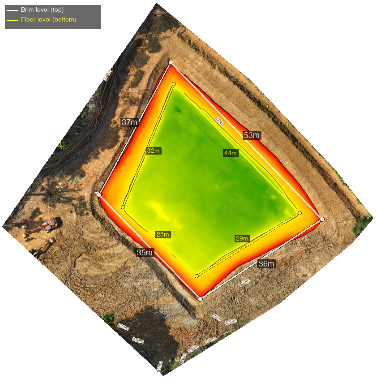
Once the terrain model is combined with a known or estimated water line, depth can be mapped continuously across the entire basin rather than at a handful of manually sounded points. This is where the actual storage volume comes from — not a rough estimate based on average depth times surface area, but a true integration across the full terrain surface.
Spillover Analysis
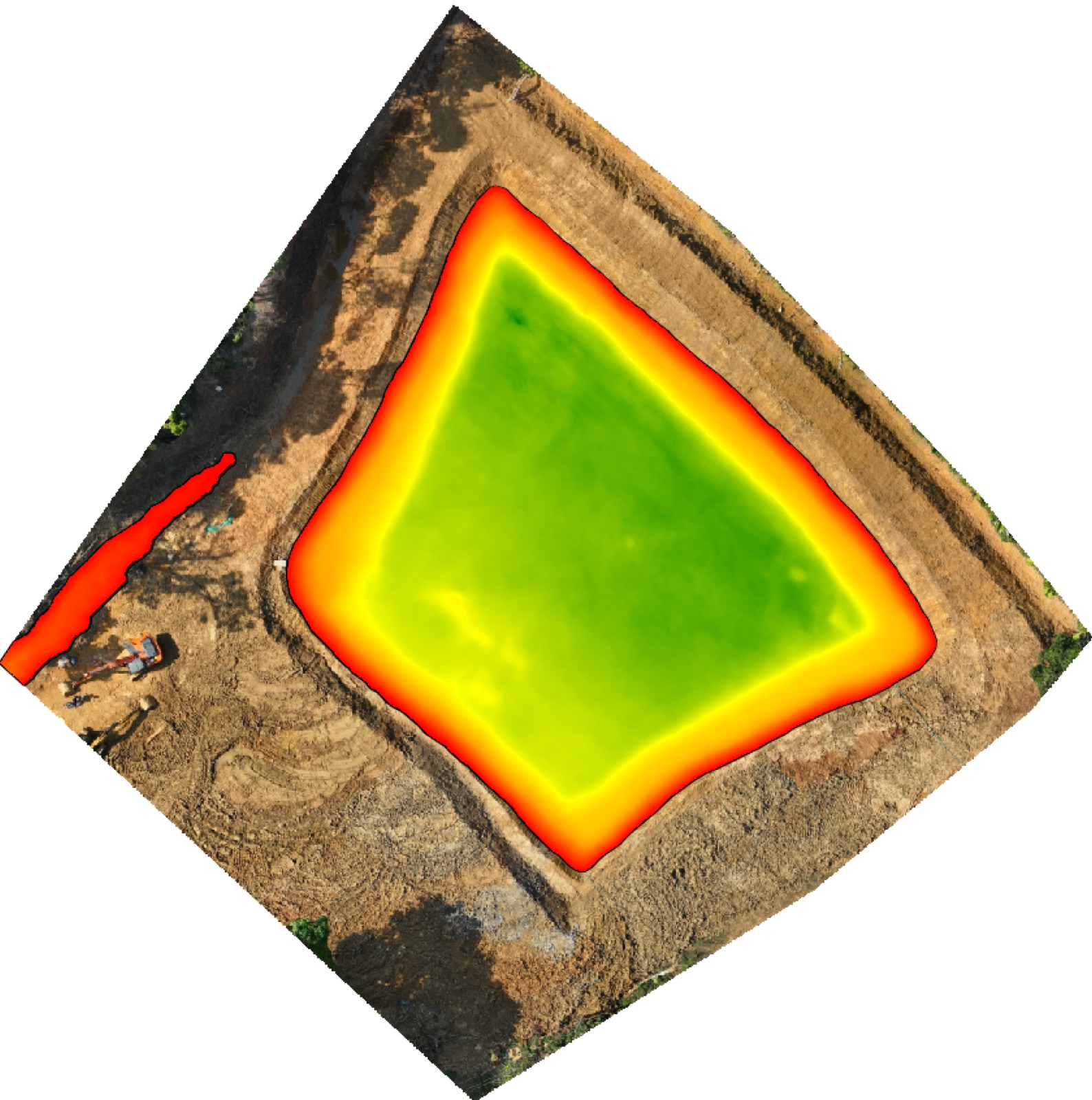
The same terrain model identifies the lowest points on the pond’s perimeter — where water will overflow first once the basin fills, and how much additional capacity remains before that happens. For ponds feeding a gravity irrigation line or sitting above other estate infrastructure, knowing the exact spillover point in advance matters as much as knowing the volume.
From Survey to Irrigation Plan
The output isn’t just a set of maps — it’s a number estate managers can plan a season around: total litres of capacity, translated into how many acres one full pond can carry through a dry-season irrigation round. That’s the number that actually determines whether an existing pond is adequate, or whether it’s time to plan a second one.
Pond and lake volume surveys are part of our standard drone mapping service — get in touch if you’re planning a new irrigation source or want to know exactly what your existing one holds.