

A flat map shows where things are. A terrain model shows how the land behaves: where rain runs, where it gathers, which slopes catch the morning sun and which stay in shade. The 3D Terrain tab of the farm dashboard rebuilds your survey as a 3D model of the bare ground, with the trees removed, so you can see the shape of the estate under the canopy.
The images in this post are from another of our surveys; every estate’s model is built from its own flight.
A model you can walk around
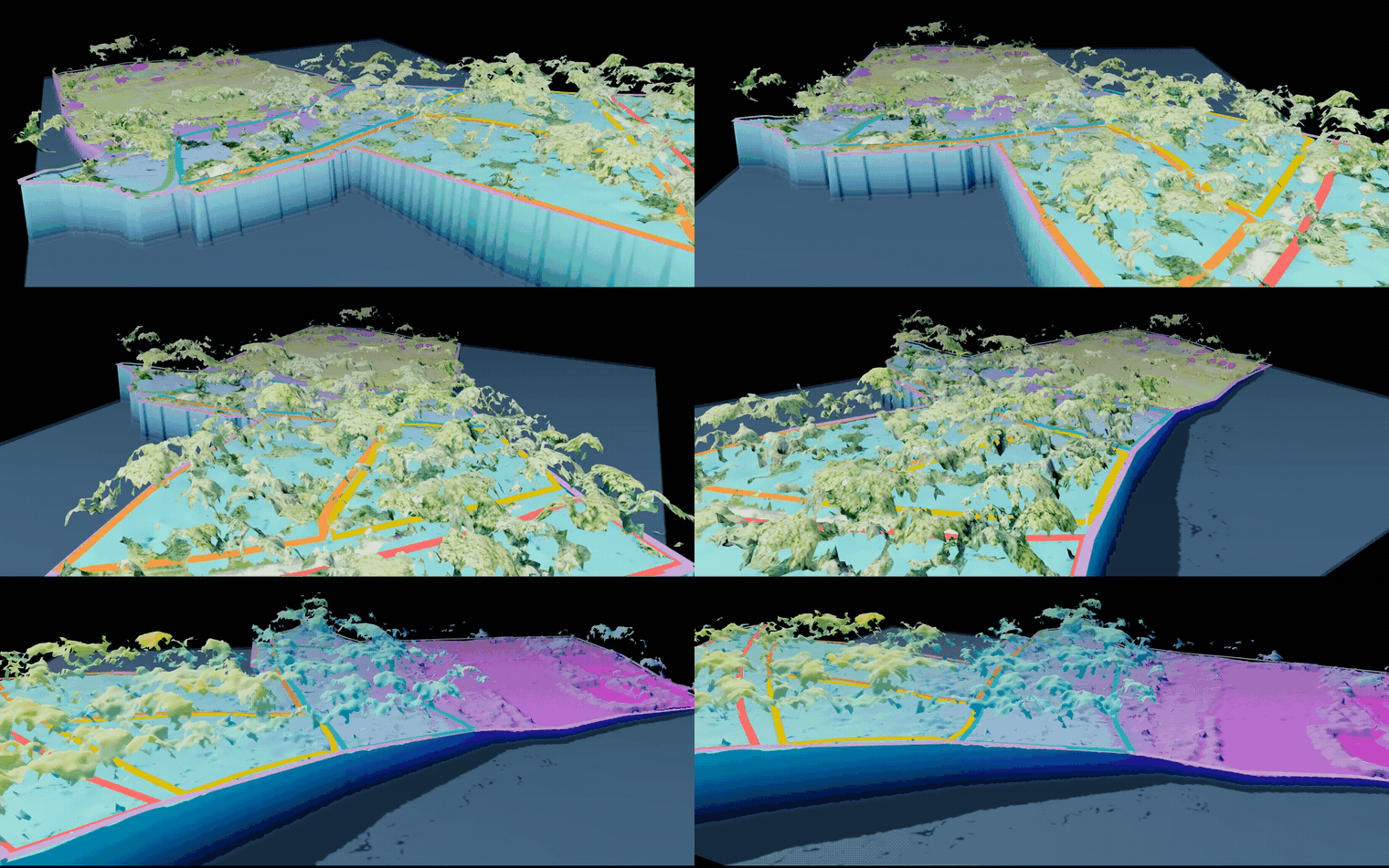 Tilt, spin and zoom the model in your browser.
The model comes from the digital terrain model (DTM), the ground surface the survey measures under the trees. In 3D, gentle slopes and drainage lines show up exactly as they are, including ones that are hard to notice when you’re standing on them under a full canopy. Downhill arrows in the legend show which way each part of the land falls.
Rainwater flow
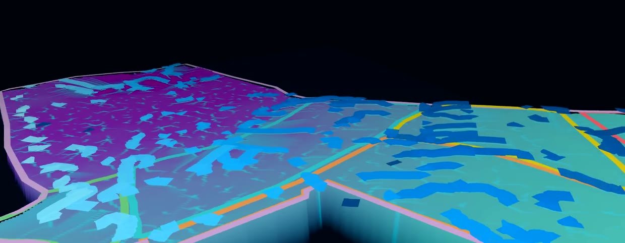 Run a rain simulation and watch where water gathers and runs off.
Start the rain simulation and water runs across the model the way it would across the estate. It shows:
- Where water collects: low spots that stay wet, useful for siting a pond or a recharge pit, and for knowing where not to put a drying yard.
- Where it runs fastest: the channels that carry soil away in heavy monsoon rain, and where a contour trench or drain would help most.
- Where roads and paths will wash out if they follow the fall line.
Sunlight and shade
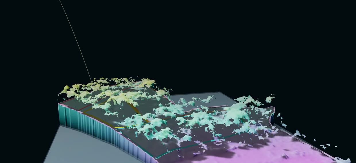 Move the sun through the day and through the seasons to see where shade falls.
Move the sun through the day, and through the months of the year, and the model shows which slopes are lit and which fall into the shadow of the hill. On a west-facing coffee block, the hot afternoon sun matters for how much shade the coffee needs; on a north-facing one, the winter sun may barely reach.
What it helps you decide
- Drains and water: where to cut drains and trenches, and where water can be stored.
- Roads and paths: routes that follow the contour rather than the fall line.
- Planting: which slopes suit which crop, and where shade trees are most needed.
- Erosion: the slopes that need cover or shade retention most, especially after clearing or shade lopping.
Terrain also feeds the farm assistant: ask where to put a road, or which block is steepest, and it answers from the same model.
Next: the 3D Digital Twin, or back to the dashboard tour. For more on how these terrain layers are made, see A Living Record of the Land.