

QGIS Script Bundle · 16 Scripts
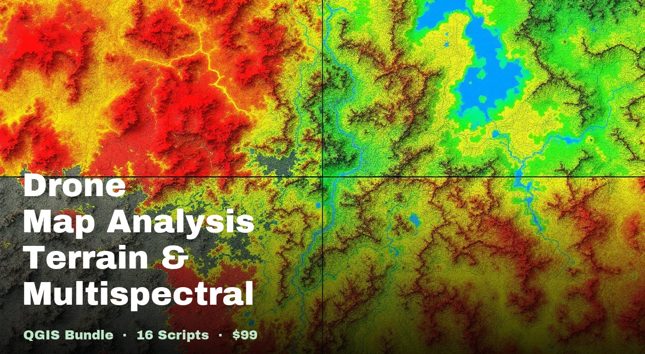
Drone Mapping, Terrain & Multispectral Analysis QGIS Package
Every terrain, vegetation, and GIS utility script we run on real drone survey and plantation mapping projects — 16 Python scripts in one download.
Built for drone surveyors and GIS analysts who don't want to piece together individual scripts one workflow at a time. Every script is self-contained, runs in the QGIS Python Console, and adds its output to the project automatically.
Save $221 vs buying all 16 individually ($320)
Buy on GumroadWhat you get
generate_hillshade.py generate_chm.py style_chm.py generate_contours.py generate_contour_level_polygon.py calculate_lake_volume.py generate_canopy_mask.py canopy_ndvi_median_calc.py tree_heights_from_dsm_dtm.py raster_mask_generator.py zonal_statistics.py plot_tree_attributes_histograms.py buffer_active_layer.py classify_layer.py create_map_layout.py grid_generation.py All 16 scripts
Terrain Analysis
generate_hillshade.py Coloured Hillshade
Publication-ready viridis hillshade from any DTM or DSM. Multidirectional shading, auto-downsampling, smart normalisation.
generate_chm.py Canopy Height Model
Subtracts DTM from DSM to produce a height-above-ground raster, auto-resampling mismatched resolutions.
style_chm.py CHM Height Classification
8 classified height bands from bare ground through tall canopy, exported with legend, north arrow, and scale bar.
generate_contours.py Smooth Contour Lines
Gaussian-smoothed, Chaikin-rounded contour lines from a DTM. Major contours labelled with elevation.
generate_contour_level_polygon.py Water-Level Fill Polygons
Filled polygons of every DTM pixel at or below a target elevation — flood or low-lying area mapping.
calculate_lake_volume.py Lake / Crater Volume
Water storage volume in m³, litres, and acre-feet from a DTM and boundary polygon, plus a depth raster.
Vegetation & Field Analysis
generate_canopy_mask.py Canopy Mask Generator
Binary canopy/ground raster from DSM − DTM. Prerequisite for canopy-only NDVI.
canopy_ndvi_median_calc.py Canopy NDVI Median
Median NDVI per polygon plot using only canopy pixels — ignores bare soil.
tree_heights_from_dsm_dtm.py Tree Height Extractor
Adds a height field (DSM − DTM) to point or polygon features. Auto CRS alignment.
raster_mask_generator.py Raster Threshold Mask
Keeps only pixels above or below a threshold; everything else becomes NoData.
zonal_statistics.py Zonal Statistics
Mean, median, min, or max of any raster per polygon zone as a new attribute field.
plot_tree_attributes_histograms.py Attribute Histogram Plotter
Distribution histogram of any numeric field, auto-detect columns, group by category, export as PNG.
GIS Utilities
buffer_active_layer.py Buffer Active Layer
Expands point or polygon features outward by a configurable radius in metres.
classify_layer.py Layer Colour Classifier
Yellow → green graduated style on any numeric field. Discrete or percentile.
create_map_layout.py A4 Map Layout Generator
Auto-generates an A4 layout with scale bar, north arrow, legend, and date title.
grid_generation.py Survey Grid Generator
Equal-sized rectangular cells clipped to polygon boundaries. Auto UTM CRS.
Who it's for
- Drone survey professionals who want the full workflow — terrain, vegetation, and reporting — without buying scripts one at a time
- GIS analysts and consultants who take on varied projects and need terrain, canopy/NDVI, and cartographic tools on hand
- Anyone processing drone survey data who is tired of manual QGIS renderer tweaking for the same recurring outputs
Requirements
How to use it
- 1
Load your rasters/vectors into QGIS and check (tick) or select as active the layer each script needs.
- 2
Open Plugins → Python Console → Show Editor.
- 3
Open the script you need — each has a
HOW TO USEblock at the top with exact input instructions. - 4
Adjust parameters at the bottom of the script.
- 5
Click Run — all outputs are generated and added to your QGIS project automatically.
Built-in instructions in every script
Each script has a HOW TO USE block at the top
that documents the active layer, checked layers, output, log path, and configurable parameters — so you
always have the reference without needing to open external documentation.
Get the Drone Mapping, Terrain & Multispectral Analysis QGIS Package
16 scripts, one download. Every workflow we use on real drone survey projects, ready to run.