

Automation scripts for QGIS
Python scripts built for real drone survey workflows. Paste into the QGIS Script Editor, set two parameters, and run. No extra plugins or conda environments required.
Get everything
Best valueAll 16 scripts — terrain, vegetation, and GIS utilities — in one download, at a fraction of buying them individually.
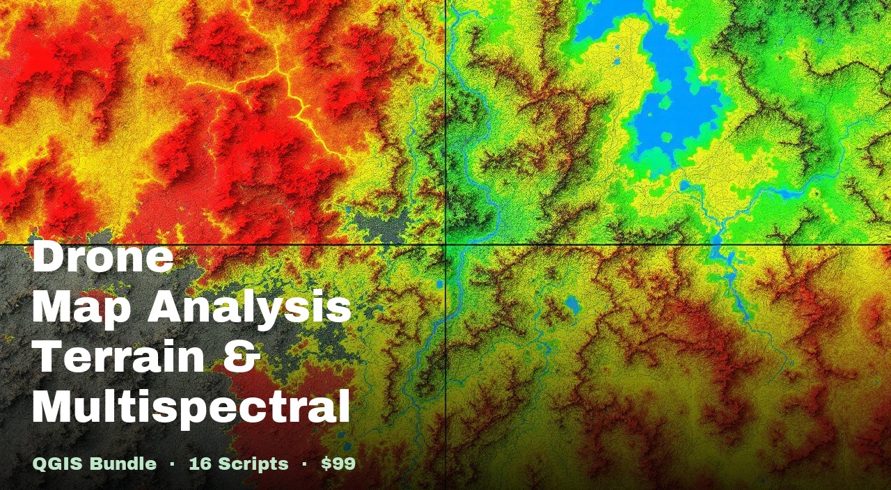
16-script bundle
Drone Mapping, Terrain & Multispectral Analysis QGIS Package
Every terrain, vegetation, and GIS utility script we use on real drone survey projects — all 16 scripts in one download.
Save $221 vs buying all 16 individually ($320)
Individual Scripts
$20 each. Buy only the script you need — every one is a single self-contained .py file.
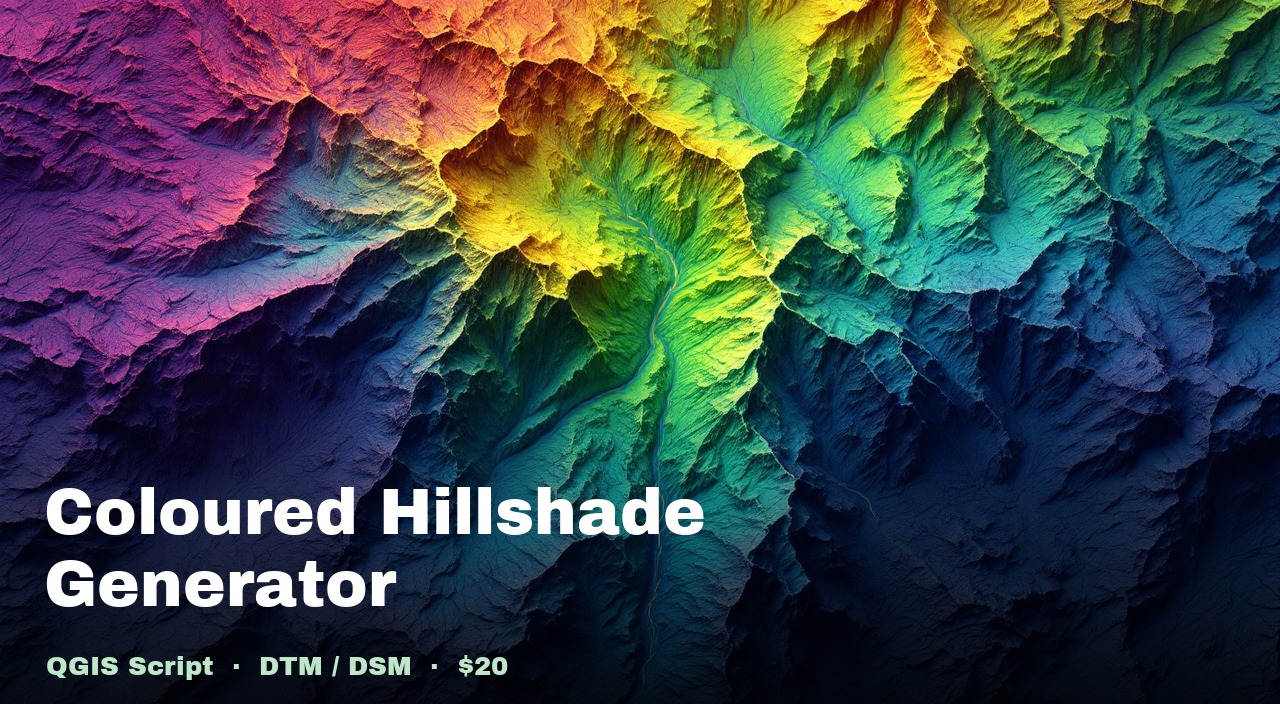
Coloured Hillshade Generator
Viridis colour ramp blended with multidirectional hillshade from any DTM or DSM.
Also in Drone Mapping, Terrain & Multispectral Analysis QGIS Package
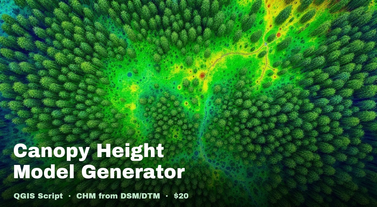
Canopy Height Model Generator
Subtracts DTM from DSM to produce height-above-ground at every pixel.
Also in Drone Mapping, Terrain & Multispectral Analysis QGIS Package
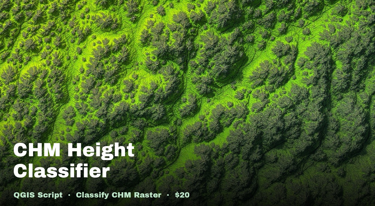
CHM Height Band Classifier
Applies 8 classified height bands to a CHM and exports a static map with legend.
Also in Drone Mapping, Terrain & Multispectral Analysis QGIS Package
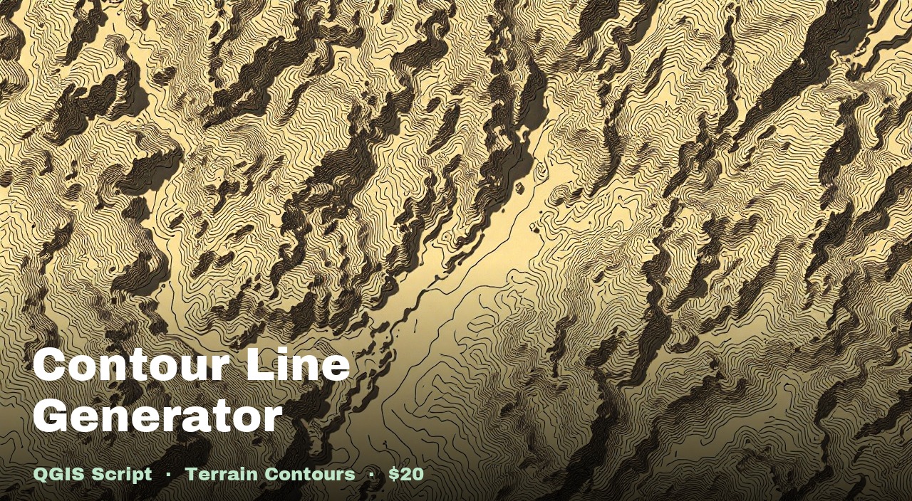
Smooth Contour Generator
Gaussian smoothing + Chaikin algorithm for cartographic-quality contour lines.
Also in Drone Mapping, Terrain & Multispectral Analysis QGIS Package
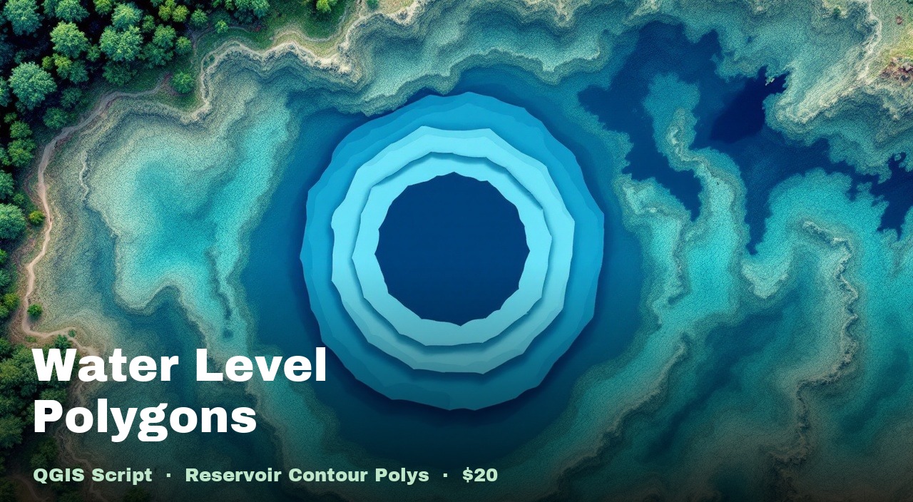
Water Level Polygon Generator
Converts DTM pixels at or below a target elevation into filled GeoJSON polygons.
Also in Drone Mapping, Terrain & Multispectral Analysis QGIS Package
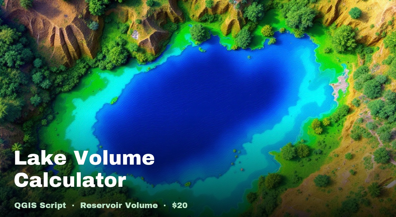
Lake Volume Calculator
Computes water storage volume in m³, litres, and acre-feet from a DTM and polygon.
Also in Drone Mapping, Terrain & Multispectral Analysis QGIS Package
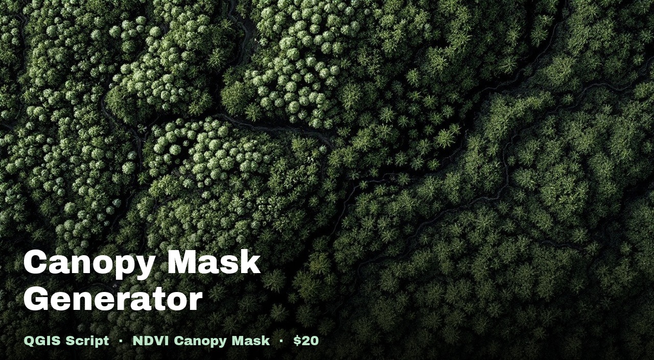
Canopy Mask Generator
Creates a binary canopy/ground raster from DSM − DTM. Prerequisite for NDVI analysis.
Also in Drone Mapping, Terrain & Multispectral Analysis QGIS Package

Canopy NDVI Median Calculator
Computes median NDVI per polygon from canopy-only pixels — ignores bare soil.
Also in Drone Mapping, Terrain & Multispectral Analysis QGIS Package

Tree Height Extractor
Adds a height field (DSM − DTM) to point or polygon features. Auto CRS alignment.
Also in Drone Mapping, Terrain & Multispectral Analysis QGIS Package

Raster Threshold Mask
Keep only pixels above or below a threshold — everything else becomes NoData.
Also in Drone Mapping, Terrain & Multispectral Analysis QGIS Package

Zonal Statistics Calculator
Mean, median, min, or max of any raster per polygon zone — one new attribute field.
Also in Drone Mapping, Terrain & Multispectral Analysis QGIS Package
Attribute Histogram Plotter
Plot any numeric field as a distribution histogram — auto-detect columns, group by category, export as PNG.
Also in Drone Mapping, Terrain & Multispectral Analysis QGIS Package

Buffer Active Layer
Expands point or polygon features outward by a configurable radius in metres.
Also in Drone Mapping, Terrain & Multispectral Analysis QGIS Package

Layer Colour Classifier
Applies yellow → green graduated style to any numeric field. Discrete or percentile.
Also in Drone Mapping, Terrain & Multispectral Analysis QGIS Package

A4 Map Layout Generator
Auto-generates A4 layout with scale bar, north arrow, legend, and date title.
Also in Drone Mapping, Terrain & Multispectral Analysis QGIS Package

Survey Grid Generator
Creates equal-sized rectangular cells clipped to polygon boundaries. Auto UTM CRS.
Also in Drone Mapping, Terrain & Multispectral Analysis QGIS Package
What these scripts are
These are the actual scripts we run on drone survey projects — not tutorials or demos.
Each one is a single .py file
designed for the QGIS Python Script Editor. Load your data, paste the script, and run.
The heavy lifting — GDAL calls, nodata masking, CRS alignment, large-file handling — is already done.