Drone Mapping Report: Turning Aerial Data into Actionable Insights
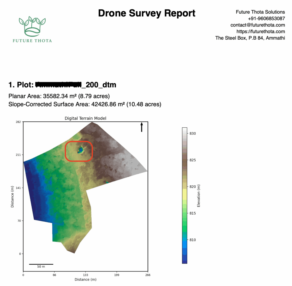
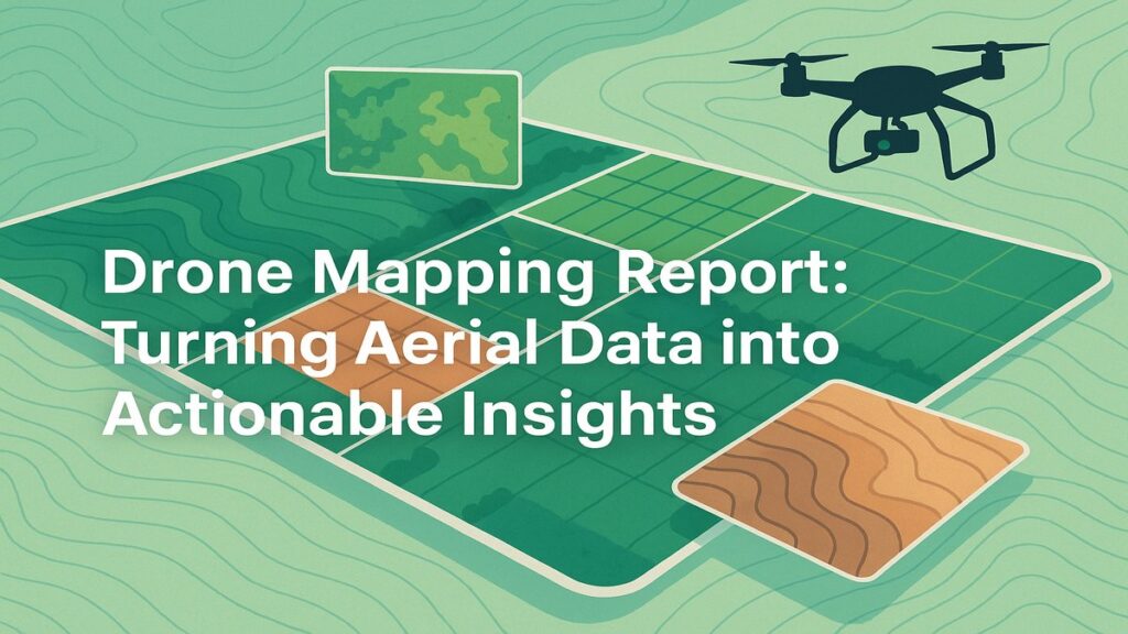
Drone Mapping Report: Turning Aerial Data into Actionable Insights At Future Thota, we believe that land deserves a new kind of attention—one rooted in precision, stewardship, and sustainability. This drone mapping report walkthrough is a window into how we convert raw aerial data into practical, visual, and decision-ready insights for estate owners, NGOs, and data […]
Drone Mapping Report: Turning Aerial Data into Actionable Insights Read More »