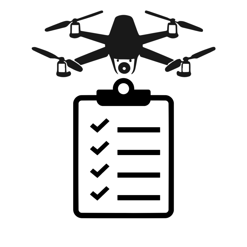
Planning a successful drone survey requires careful preparation, especially when operating a professional mapping drone in India. This guide covers essential pre-flight checks, mission planning best practices, and on-site procedures to ensure smooth and compliant operations.
Many of these practices apply internationally, subject to local regulations.
Pre-Requisites Before Arriving on Site
Certification and Registration
- Carry a valid Remote Pilot Certificate (RPC)
- Ensure your drone is registered and has a UIN (Unique Identification Number)
Flight Location and Airspace Clearance
- Identify the coordinates or general area of the survey site
- Check if your site falls in a Green, Yellow, or Red Zone on the DGCA Airspace Map
- Green Zones usually allow pre-approved flights; otherwise, submit a flight plan via the Digital Sky Platform
Local Authorities Notification
- Inform the nearest police station as a courtesy, even though DGCA grants permission — this enhances safety awareness for the public
Equipment Preparation
- Fully charge all drone and RC batteries
- Complete any firmware or software updates
- Inspect propellers, motors, and the drone body for wear or damage
- Format and check the SD card for errors using a laptop
Subscriptions and Connectivity
- Confirm you have a valid mobile internet data plan for the region
- If using RTK via CORS network, confirm your NTRIP subscription is active for the region
Mission Planning Essentials
Flight Planning
- If available, import KML boundary files into the RC for route planning
- Estimate number of batteries required, flight time, and mission complexity
Ideal Flying Time
- Plan flights between 10:00 AM and 2:00 PM for minimal shadows and maximum sunlight penetration through the canopy
Weather and Terrain Check
- Use apps like Windy for weather and wind forecasts
- Enterprise mapping drones typically tolerate winds up to 26 mph, but lower wind conditions produce sharper imagery
Takeoff and Landing Site Selection
- Prefer the highest accessible point on the terrain for takeoff and landing — this minimises elevation-related flight issues
Emergency Preparedness
- Have emergency contacts ready: ambulance, police, fire department, air traffic control if near airports
- For commercial operations, a remote supervisor who can check drone logs in real time is advisable
Best Practices On Site
Maintain Visual Line of Sight (VLOS)
- Identify a distant fixed landmark — a building, tree, or hilltop — to help maintain orientation and gauge visibility
- Visibility of at least 3 km is recommended for safe operation
Use a Visual Spotter
- For flights beyond 450 metres, assign a spotter to maintain constant communication with the pilot
Safe Takeoff Conditions
- Choose a flat, unobstructed area for automatic takeoff and landing
Identify Obstructions
- Watch for power lines, tall trees, buildings, and hills
- Obstacle avoidance sensors may not detect thin wires — always scan manually before flying
Maintain Altitude Safety Margins
- Fly at least 130 ft above the highest ground points in the survey area to avoid stitching errors
Avoid Line-of-Sight Obstructions
- Hills between the RC and drone can cause signal loss and trigger an unexpected Return to Home — or worse, a flyaway. Always maintain clear line of sight.
Post-Flight Checks
Drone and Equipment Inspection
- Check for any damage after the mission
- Allow the drone to cool before packing in the case
- Install the gimbal cover carefully before transport
Data Verification
- Connect the SD card to a laptop immediately after landing
- Quickly review a sample of photos for proper focus, absence of blur, and absence of file corruption
- Early detection avoids the cost and delay of rescheduling the mission
GPS Corrections
- If RTK was not used during the flight, consider a Post-Processed Kinematic (PPK) workflow to correct image GPS tags before processing
Quick Processing Check
- Consider generating a fast orthophoto using WebODM to check GPS accuracy and coverage before investing time in full processing
Conclusion
Following a comprehensive drone mapping checklist is critical for smooth, safe, and legally compliant operations in India. By methodically preparing for each flight, drone operators can maximise data quality, avoid technical issues, and ensure compliance with Indian drone regulations.
For professional drone survey services for plantations, farms, and terrain in India, contact Future Thota today.