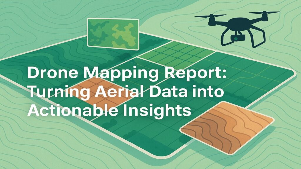
Drone Mapping Report: Turning Aerial Data into Actionable Insights
At Future Thota, we believe that land deserves a new kind of attention—one rooted in precision, stewardship, and sustainability. This drone mapping report walkthrough is a window into how we convert raw aerial data into practical, visual, and decision-ready insights for estate owners, NGOs, and data driven companies.
🛰️ From Flight to Facts: How It Begins
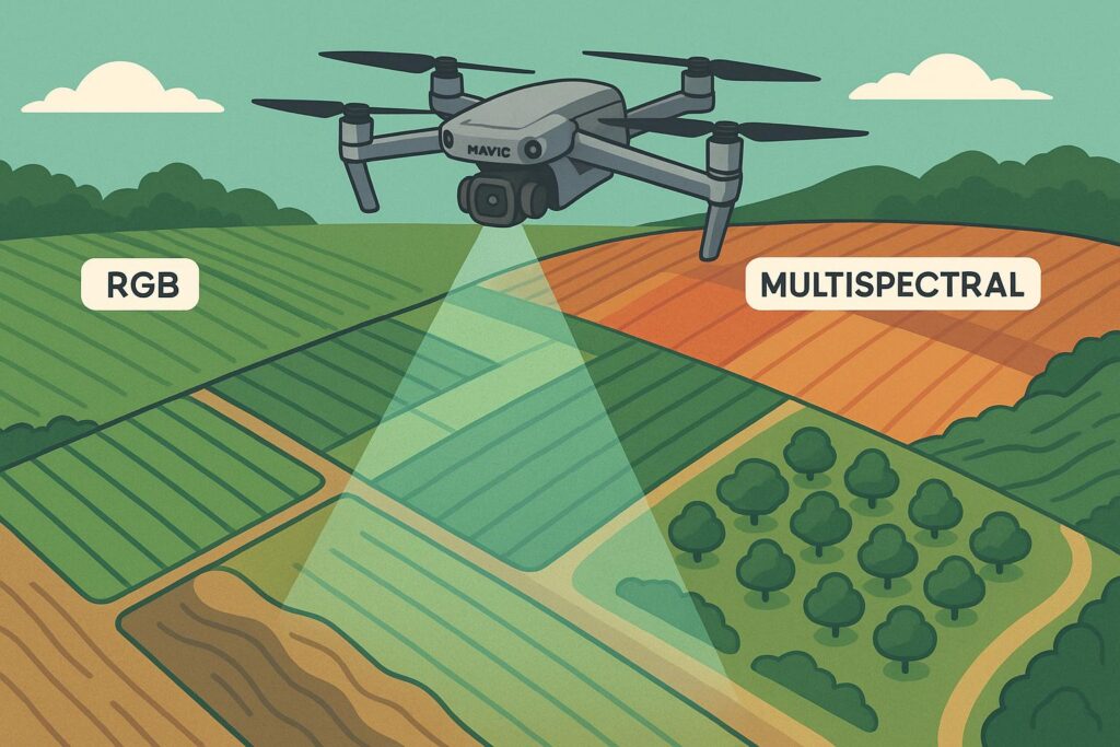
Our journey begins in the skies. Using a drone like the DJI Mavic 3 Multispectral, we conduct high-resolution flights over your land, capturing both RGB and multispectral imagery. This raw data is then processed into Digital Surface Models (DSMs), orthomosaics, and vegetation indices.
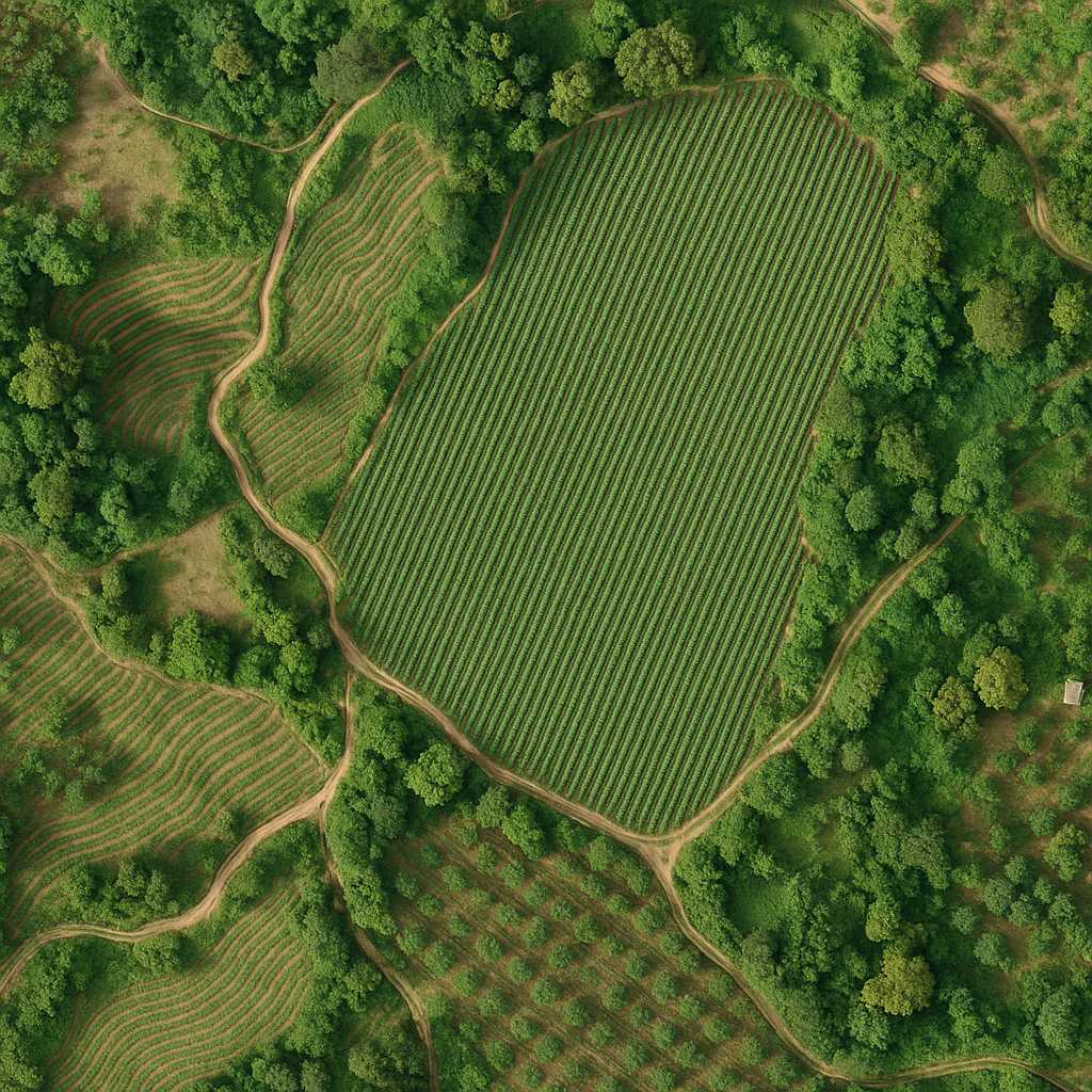
Each mission is customized. Whether it’s mapping a coffee plantation on undulating terrain or surveying an agroforestry plot for sunlight exposure, our flight plans are optimized for accuracy, efficiency, and minimal disruption on the ground.
Depending on your needs, we offer advanced custom analysis:
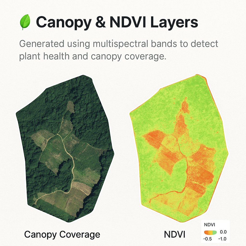
Tree Count & Health Monitoring
Water Flow Simulations
Boundary Verification (GPS KML)
Annual Change Detection Reports
Each layer is geo-referenced and provided in high-resolution formats, compatible with Google Earth and GIS software. All maps are also included in a printable and shareable PDF summary.
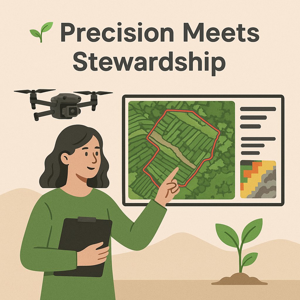
Drone mapping isn’t just about pretty maps. It’s about equipping landowners with tools to make better decisions—whether that’s planning an irrigation system, deciding where to replant, or simply understanding the terrain in a new way.
At Future Thota, our mission is to support land stewardship through precision technology. This report is just one step in that journey.
📞 Want a Drone Survey Like This?
Whether you own a coffee estate, a regenerative farm, or a developing land parcel, we can design a mapping mission tailored to your goals.