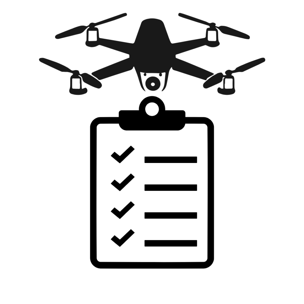
Essential Drone Mapping Checklist for Surveys
Introduction
Planning a successful drone survey in India requires careful preparation, especially when operating drones like the DJI Mavic 3M or another one from the Enterprise series.
This guide covers essential pre-flight checks, mission planning best practices, and on-site procedures to ensure smooth and compliant drone mapping operations. You can also see this post about essential drone mapping accessories to include in your kit.
Although this tutorial focuses on Mavic 3M mapping in India, many practices apply internationally — subject to local regulations.
Pre-Requisites Before Arriving on Site
Before heading to your mapping site, complete these checks:
✅ Certification and Registration
Carry a valid Remote Pilot Certificate (RPC).
Ensure your drone is registered and has a UIN (Unique Identification Number).
✅ Flight Location and Airspace Clearance
Identify the coordinates or general area.
Check if your site is in a Green, Yellow, or Red Zone on the DGCA Airspace Map.
Green Zones usually allow pre-approved flights; otherwise, submit a flight plan via Digital Sky Platform.
✅ Local Authorities Notification
Inform the nearest police station as a courtesy, even though DGCA grants permission. This enhances safety awareness for the public.
✅ Equipment Preparation
Fully charge all drone and RC batteries.
Complete any firmware/software updates.
Inspect propellers, motors, and the drone body for wear or damage.
Format and check the SD card for errors using a laptop.
✅ Recharge relevant subscriptions
Make sure you have a valid mobile internet data plan for the region
If RTK is being used through CORs (a network of stations), make sure you have a valid NTRIP subscription for the region.
Mission Planning Essentials
✅ Flight Planning
If available, import KML boundary files into the RC for route planning.
Estimate number of batteries required, flight time, and mission complexity.
✅ Ideal Flying Time
Plan flights between 10:00 AM and 2:00 PM for minimal shadows and maximum sunlight.
✅ Weather and Terrain Check
Use apps like Windy for weather and wind forecasts.
DJI Mavic 3 Enterprise drones tolerate winds up to 26 mph.
✅ Takeoff and Landing Site Selection
Prefer the highest point on the terrain for takeoff/landing to minimize elevation-related issues.
✅ Logistics and Power
Plan for charging options:
Portable battery chargers
Vehicle chargers (monitor temperature to avoid overheating)
✅ Emergency Preparedness
Be aware of emergency contacts: ambulance, police, fire department, air traffic control (ATC) if near airports.
If this is for commercial drone ops, it is advisable to have a ‘supervisor’ who can remotely check drone logs. In case of strange warnings, unusual drone behaviour, or to check stats, you can immediately sync your drone flight logs over the internet, and ask for it to be analysed.
Best Practices On Site
✅ Maintain Visual Line of Sight (VLOS)
Identify a distant fixed landmark (building, tree, hill) to help maintain orientation and gauge visibility.
Visibility of at least 3 km is recommended.
✅ Use a Visual Spotter
For flights beyond 450 meters, assign a spotter to maintain constant communication with the pilot.
✅ Safe Takeoff Conditions
Choose a flat, unobstructed area for automatic takeoff and landing.
✅ Identify Obstructions
Watch for power lines, tall trees, buildings, and hills.
Remember: obstacle avoidance sensors may not detect thin wires.
✅ Maintain Altitude Safety Margins
Fly at least 130 ft above the highest ground points to avoid stitching errors during mapping.
✅ Avoid LOS Obstructions
Obstructions between RC and drone (like hills) may cause signal loss and trigger an unexpected Return to Home (RTH), or worse – a flyaway drone.
Post-Flight Checks
✅ Drone and Equipment Inspection
-
Check for any damage after the mission.
-
Allow the drone to cool before packing.
-
Install the gimbal cover carefully.
✅ Data Verification
-
Connect the SD card to a laptop immediately after landing.
-
Quickly review photos for:
-
Proper focus
-
Absence of blur or lens smudge
-
Absence of file corruption
-
Early detection avoids rescheduling costly missions!
✅ Check Drone Flight Logs
-
Check the drone flight logs for any unusual parameters. Get in touch with us for a ready-to-use tool which summarises these logs with all the important details, to make sure everything is going smooth.
-
If RTK was not used, consider using Post-Processed Kinematic (PPK) workflow to correct the GPS tags of the images for better quality of outputs.
-
Consider generating a ‘fast orthophoto’ using the free WebODM software and study the report for a quick assessment of GPS accuracy and coverage. You can also obtain the report from your final WebODM processing task too, like ‘DSM + DTM + High resolution Ortho’, but this is much more time consuming and may be subject to WebODM processing limits.
Conclusion
Following a comprehensive drone mapping checklist is critical for smooth, safe, and legally compliant drone operations in India.
By methodically preparing for each flight, pilots using drones like the DJI Mavic 3M can maximize data quality, avoid technical issues, and ensure compliance with Indian drone regulations. This kind of checklist can be used to conduct your own mapping studies, something like this drone plantation survey in Coorg!
For professional drone survey services for agriculture, plantations, and terrain mapping in India, contact Future Thota today!