Precision Drone Mapping & Sustainable Agri-Intelligence From data capture to strategic insight, we provide full-spectrum geospatial solutions for landowners, agri-businesses, NGOs, and drone collaborators. Our comprehensive drone mapping checklist and workflows ensure safety and high quality outputs, for a range of valuable deliverables. Check out our detailed guides on the blogs page: PPK corrections without physical base station, Boundary mapping of closed canopy land, open source drone processing software troubleshooting, Flight log softwares, and whole lot of other useful information.
High-Precision Data Collection
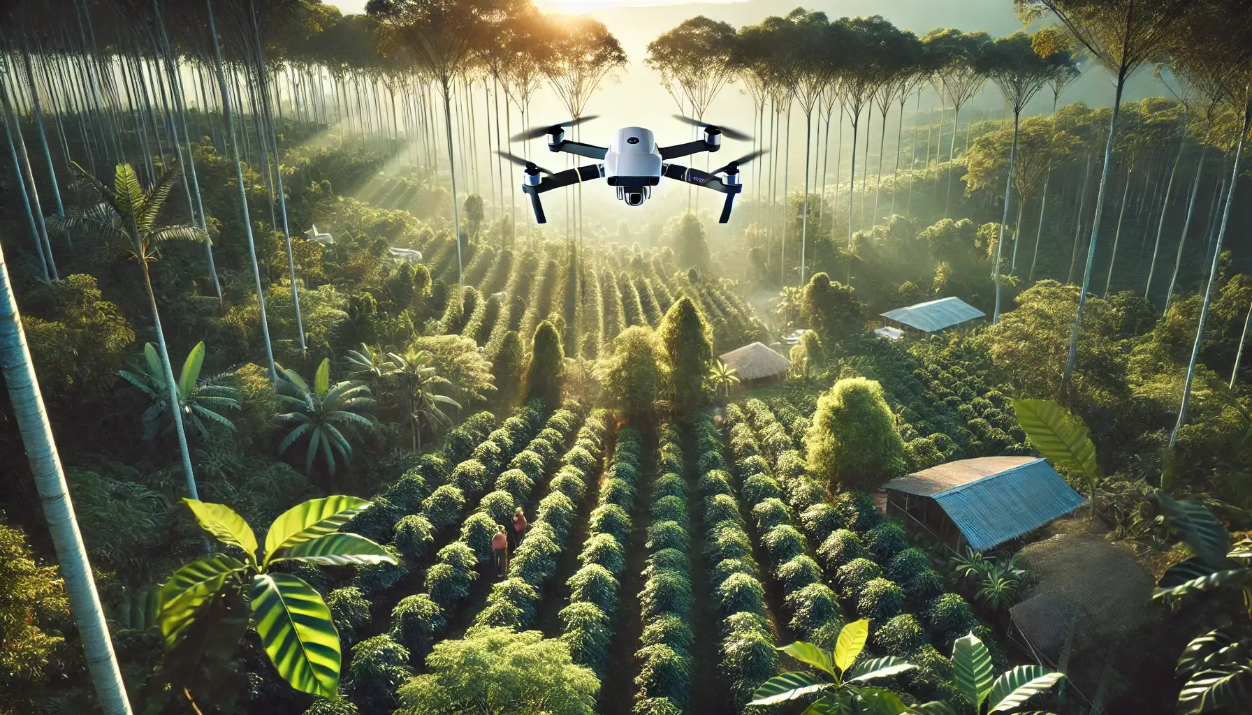
01.
We deploy advanced drones to map your entire estate with centimeter-level accuracy. Each mission captures hundreds of high-resolution images, which are then stitched into an orthomosaic map—a digital twin of your land.
This visual layer is the foundation for deeper insights through manual tagging or automated AI classification.
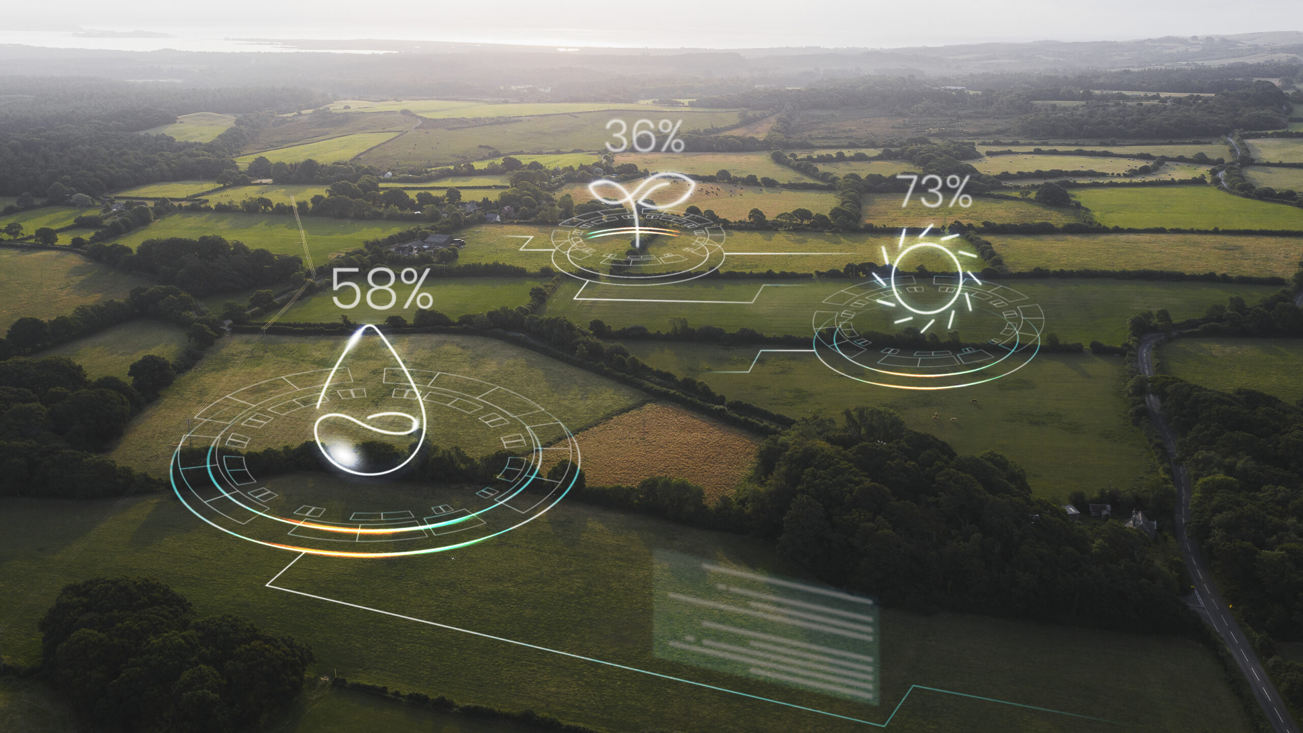
We extract actionable intelligence from your drone maps using a combination of machine learning, manual verification, and domain knowledge.
Depending on your needs, this may include:
Crop count and species identification
Tree health and stress analysis
Damage and disease mapping
Digital elevation models & terrain profiling
We work closely with you to tailor insights for operational, environmental, or certification goals.
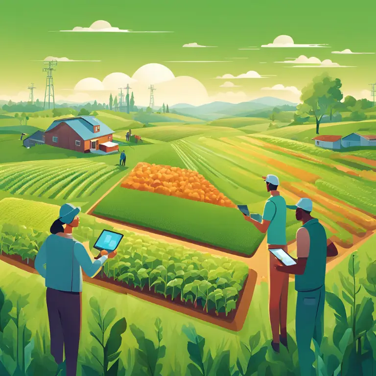
Community Intelligence & Knowledge Sharing
03.
Through our forum and newsletter, we bring together drone enthusiasts, agronomists, and mappers to exchange ideas, share tools, and solve real-world challenges.
💬 Join us to collaborate, co-create workflows, and elevate what’s possible with drones in agriculture.
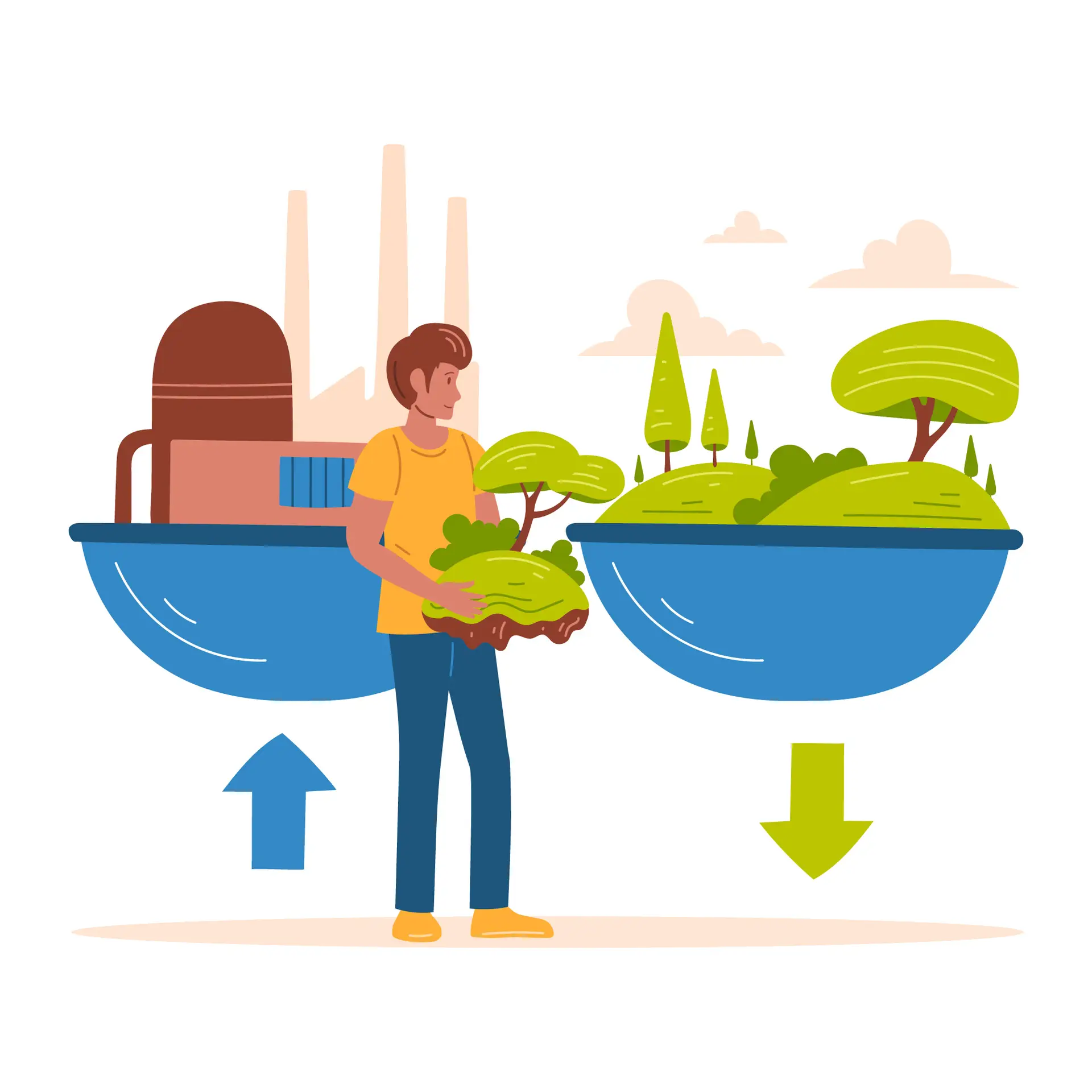
LCA Data Collection & Biodiversity Indicators
04.
Support sustainability research with high-resolution drone data tailored for Life Cycle Assessment (LCA) projects. We focus on forest crops and biodiversity indicators, capturing critical datasets for carbon sequestration, habitat monitoring, and ecosystem health.
Our role is to provide precise, field-level data that enables researchers, institutions, and sustainability projects to quantify environmental impacts with confidence. Partner with us to enhance the quality and accuracy of your LCA studies.
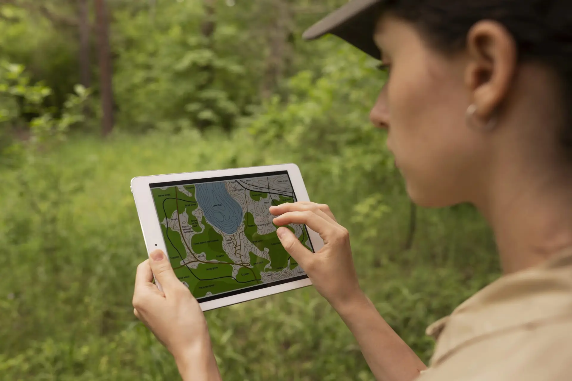
Cloud-Based Digital Farm Management
05.
All data is securely stored in the cloud and available on demand—whether for a field visit, audit, or long-term planning.
With ~25+ high-res drone photos captured per acre, we ensure no detail is missed. Our stitching and processing workflows turn gigabytes of raw data into clean, accessible visualizations and datasets.
🌐 No more file juggling. Just log in and review your land from anywhere.
Future Planning & Advisory
06.
See the bigger picture—literally. With zoomed-out, multi-temporal maps and expert interpretation, we help you:
Monitor long-term changes
Identify underperforming zones
Design regenerative interventions
Make smart expansion or conservation decisions
📄 Every client receives a detailed planning report tailored to your operational and sustainability goals.
Let’s Map What Matters
Whether you’re managing 5 acres or 5,000, our drone-powered workflows deliver the clarity and confidence you need to grow smarter.