Drone Survey – Altitudes
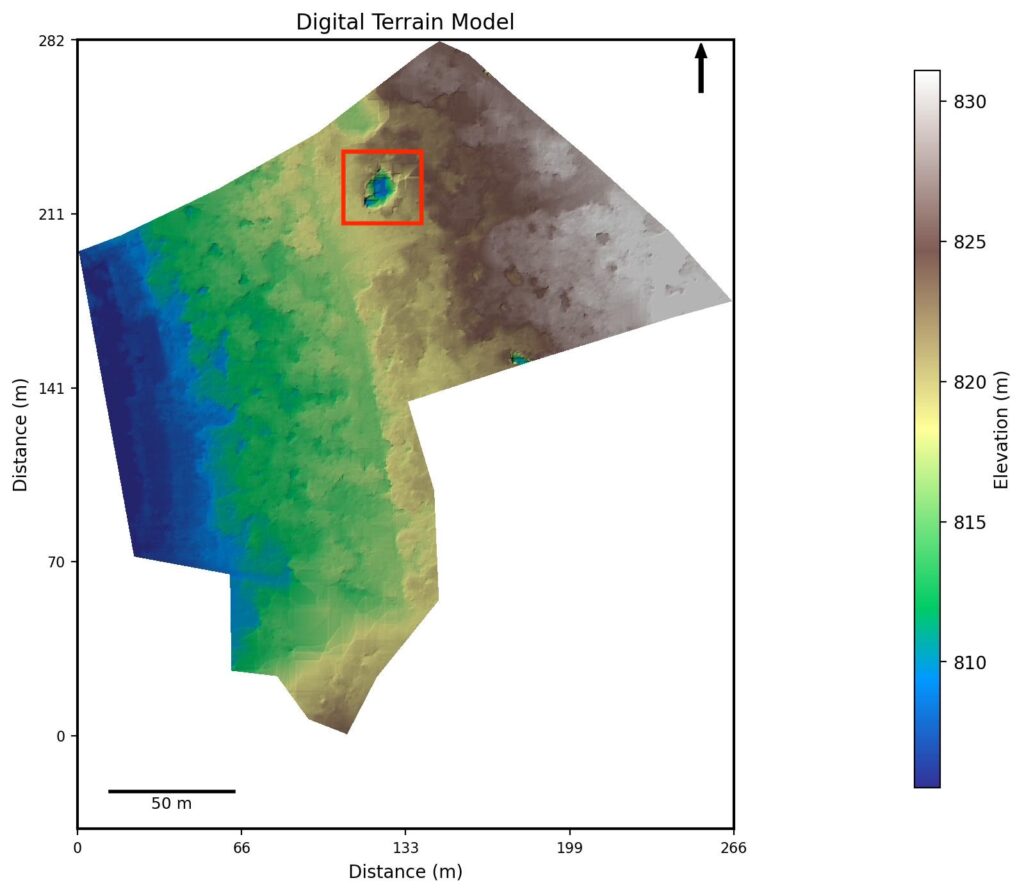
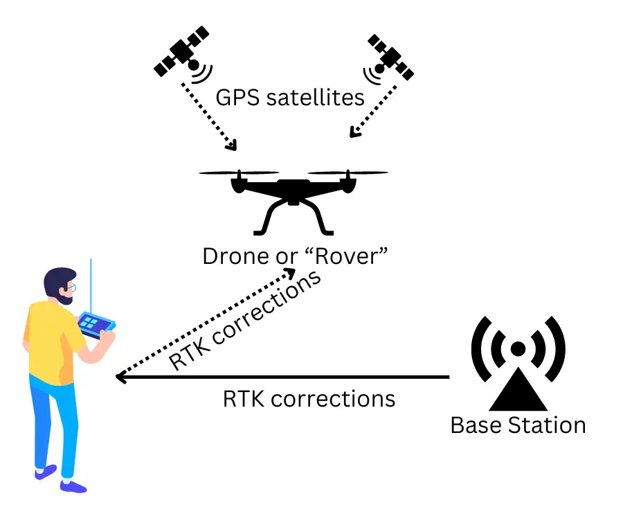
Drone Survey – altitude study Introduction Drones offer much more accurate land area surveys than traditional old methods. The accuracy comes from using extremely precise GPS mapping of land features, which may have errors of only a few centimetres (using RTK enabled systems). From this mapping, a digital terrain model (DTM) can be processed in […]
Drone Survey – Altitudes Read More »


