Blogs
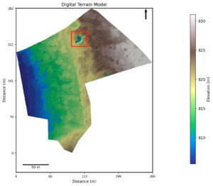
Drone Survey – Altitudes
Drone Survey – altitude study Introduction Drones offer much more accurate land area surveys than traditional old methods. The accuracy comes from using extremely precise GPS mapping of land features,
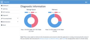
WebODM Troubleshooting
This post assumes you have already installed and setup WebODM. For this you typically need a docker container running in the background and a terminal to launch WebOdm. These instructions
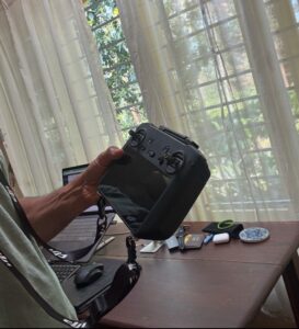
Essential accessories for the DJI Mavic 3M
Introduction As a new owner of a DJI Enterprise series drone like the Mavic 3M, you may be wondering what essential accessories to pick up with it. Don’t worry because
Drone Mapping Checklist
These are some pre-requisites and best practices while mapping a piece of land, using a DJI Mavic 3M. We go through the checks before showing up on site, inspections to
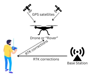
NTRIP subscription for RTK modules in India
If you have a drone with an RTK module, and are looking for an NTRIP subscription to utilise the centimetre level positioning accuracy, this blog explains the setup for this

